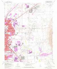
1967 Map of Las Vegas NE
USGS Topo · Published 1976About this map
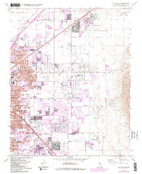
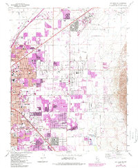
Nellis Air Force Base dominates the northern landscape of this survey, bordered by the Lake Mead Base Bdy and extensive areas of desert terrain. To the southwest, the rapid suburban expansion of North Las Vegas and Las Vegas is evident through a dense grid of schools and public facilities, such as Rancho High Sch and the County Juvenile Court. The Union Pacific railroad tracks cut a sharp diagonal through the industrial western corridor, while natural drainage features like the Las Vegas Wash and Flamingo Wash thread toward the base of Frenchman Mtn. This era captures a transition from open desert to a residential metropolis, marked by landmarks like the Stardust Country Club and the early Drive-in Theater that served the growing population near Cheyenne Ave.
Find a feature on this map
92 named features on this map. Tap any name to fly to it.
Don’t see what you’re looking for? This feature index may not catch every label — zoom into the map to look around manually.
Map Details
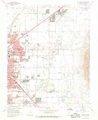
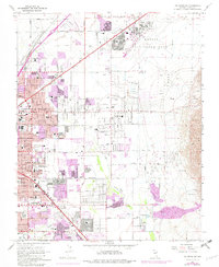
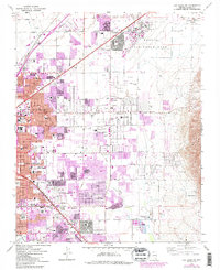
Editions of this 1967 Las Vegas NE Map
6 editions found
Other maps of this area

1886 · Saint Thomas
USGS Topo · 1:250,000

1893 · Saint Thomas
USGS Topo · 1:250,000

1907 · Las Vegas
USGS Topo · 1:250,000

1908 · Las Vegas
USGS Topo · 1:250,000

1926 · Boulder Canyon
USGS Topo · 1:96,000

1952 · Gass Peak
USGS Topo · 1:62,500

1952 · Dry Lake
USGS Topo · 1:62,500

1952 · Henderson
USGS Topo · 1:62,500

1952 · Las Vegas
USGS Topo · 1:62,500

1954 · Las Vegas
USGS Topo · 1:250,000