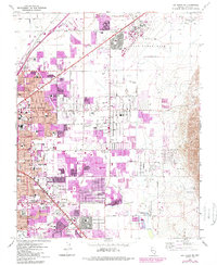
1967 Map of Las Vegas NE
USGS Topo · Published 1984About this map
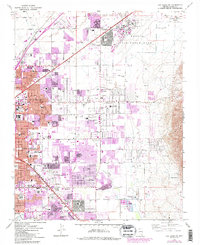
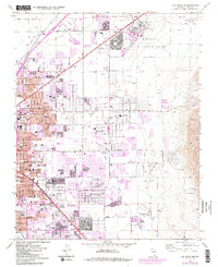
Nellis Air Force Base dominates the northeastern landscape of this map, representing a massive military footprint during the height of the Cold War. As the city expanded, residential developments pushed eastward toward the base of Frenchman Mtn, characterized by the rapid growth of North Las Vegas and Las Vegas. This 1967 survey, updated with purple tint revisions from 1982, captures the specific urban sprawl of the early 1980s, revealing how new neighborhoods like Winterwood and Stewart Place filled the desert floor between the established Union Pacific rail corridor and the rugged eastern terrain.
Find a feature on this map
70 named features on this map. Tap any name to fly to it.
Don’t see what you’re looking for? This feature index may not catch every label — zoom into the map to look around manually.
Map Details
Editions of this 1967 Las Vegas NE Map
6 editions found
Other maps of this area

1886 · Saint Thomas
USGS Topo · 1:250,000

1893 · Saint Thomas
USGS Topo · 1:250,000

1907 · Las Vegas
USGS Topo · 1:250,000

1908 · Las Vegas
USGS Topo · 1:250,000

1926 · Boulder Canyon
USGS Topo · 1:96,000

1952 · Gass Peak
USGS Topo · 1:62,500

1952 · Dry Lake
USGS Topo · 1:62,500

1952 · Henderson
USGS Topo · 1:62,500

1952 · Las Vegas
USGS Topo · 1:62,500

1954 · Las Vegas
USGS Topo · 1:250,000