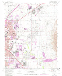
1967 Map of Las Vegas NE
USGS Topo · Published 1982About this map
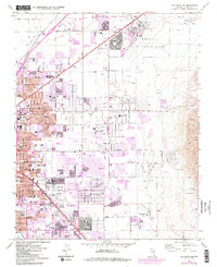
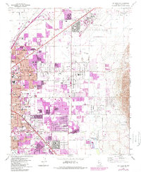
Nellis Air Force Base dominates the northeastern landscape of this Clark County survey, serving as a massive anchor for the burgeoning desert community. The desert terrain is defined by the ephemeral tracks of the Las Vegas Wash and Flamingo Wash, which cut through a region transitioning from open desert into a dense suburban grid. Rapid urban expansion is visible through extensive purple-tinted photorevisions, particularly around the Union Pacific rail lines and the corridors of Las Vegas Blvd.
Find a feature on this map
50 named features on this map. Tap any name to fly to it.
Don’t see what you’re looking for? This feature index may not catch every label — zoom into the map to look around manually.
Map Details
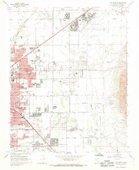
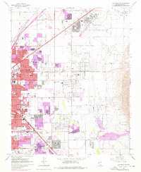
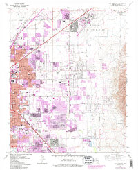
Editions of this 1967 Las Vegas NE Map
6 editions found
Other maps of this area

1886 · Saint Thomas
USGS Topo · 1:250,000

1893 · Saint Thomas
USGS Topo · 1:250,000

1907 · Las Vegas
USGS Topo · 1:250,000

1908 · Las Vegas
USGS Topo · 1:250,000

1926 · Boulder Canyon
USGS Topo · 1:96,000

1952 · Gass Peak
USGS Topo · 1:62,500

1952 · Dry Lake
USGS Topo · 1:62,500

1952 · Henderson
USGS Topo · 1:62,500

1952 · Las Vegas
USGS Topo · 1:62,500

1954 · Las Vegas
USGS Topo · 1:250,000