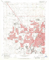
1967 Map of Las Vegas NW
USGS Topo · Published 1968About this map
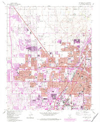
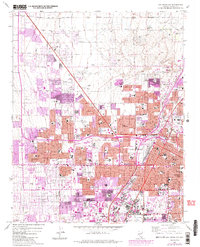
Las Vegas and North Las Vegas appear during a decade of rapid transformation on this 1967 survey. The landscape is defined by a dense grid of residential development pushing westward from the Union Pacific rail corridor toward the foothills. This growth is evidenced by a remarkable density of neighborhood institutions, including Bishop Gorman Sch, Madison Sch, and Vegas Verde Sch. Public infrastructure is prominently displayed, from the North Las Vegas Air Terminal to the Convention Center and the County Courthouse. Despite the burgeoning urbanization, the natural hydrology is still traced by Las Vegas Creek, while the presence of numerous Gravel Pits on the western fringes indicates the active construction and industrial extraction fueling the city's expansion. Green spaces like Lorenzi Park and the Municipal Golf Course provide clear landmarks within the expanding street grid.
Find a feature on this map
70 named features on this map. Tap any name to fly to it.
Don’t see what you’re looking for? This feature index may not catch every label — zoom into the map to look around manually.
Map Details
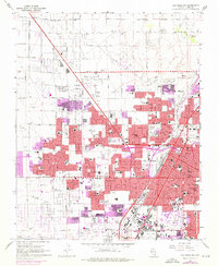
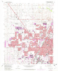
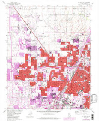
Editions of this 1967 Las Vegas NW Map
6 editions found
Other maps of this area

1907 · Las Vegas
USGS Topo · 1:250,000

1908 · Las Vegas
USGS Topo · 1:250,000

1952 · Corn Creek Springs
USGS Topo · 1:62,500

1952 · Gass Peak
USGS Topo · 1:62,500

1952 · Blue Diamond
USGS Topo · 1:62,500

1952 · Las Vegas
USGS Topo · 1:62,500

1954 · Las Vegas
USGS Topo · 1:250,000

1957 · Las Vegas
USGS Topo · 1:250,000

1959 · Las Vegas
USGS Topo · 1:250,000

1962 · Las Vegas
USGS Topo · 1:250,000