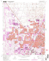
1967 Map of Las Vegas NW
USGS Topo · Published 1984About this map
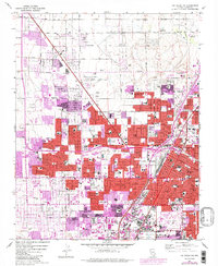
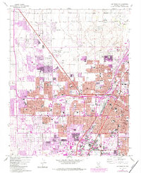
Las Vegas and North Las Vegas are shown during a period of rapid urban expansion, with purple revisions from 1982 indicating the swift growth of residential and commercial districts since the 1967 field check. The landscape transitions from the concentrated municipal centers and the County Courthouse to an increasing number of suburban developments, shopping centers, and hospitals like Southern Memorial Hospital and Sunrise Hospital. Transport networks are anchored by the Union Pacific railroad and the North Las Vegas Air Terminal, while leisure spaces like the Municipal Golf Course and the sprawling Convention Center reflect the city's emerging role as a major destination.
Find a feature on this map
67 named features on this map. Tap any name to fly to it.
Don’t see what you’re looking for? This feature index may not catch every label — zoom into the map to look around manually.
Map Details
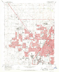
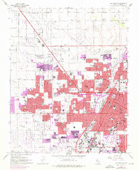
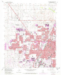
Editions of this 1967 Las Vegas NW Map
6 editions found
Other maps of this area

1907 · Las Vegas
USGS Topo · 1:250,000

1908 · Las Vegas
USGS Topo · 1:250,000

1952 · Corn Creek Springs
USGS Topo · 1:62,500

1952 · Gass Peak
USGS Topo · 1:62,500

1952 · Blue Diamond
USGS Topo · 1:62,500

1952 · Las Vegas
USGS Topo · 1:62,500

1954 · Las Vegas
USGS Topo · 1:250,000

1957 · Las Vegas
USGS Topo · 1:250,000

1959 · Las Vegas
USGS Topo · 1:250,000

1962 · Las Vegas
USGS Topo · 1:250,000