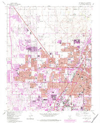
1967 Map of Las Vegas NW
USGS Topo · Published 1984About this map
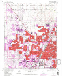
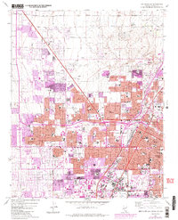
The North Las Vegas Air Terminal and the Union Pacific corridor anchor this mid-century look at a rapidly expanding desert valley. As urban growth pushes north and west toward Lone Mtn, the map reveals a transition from industrial gravel extraction near Cheyenne Ave to established residential blocks filled with schools like Western High Sch and Bishop Gorman Sch. Purple-tinted revisions highlight the dramatic 1980s densification of neighborhoods around Lorenzi Park and the Municipal Golf Course.
Find a feature on this map
82 named features on this map. Tap any name to fly to it.
Don’t see what you’re looking for? This feature index may not catch every label — zoom into the map to look around manually.
Map Details
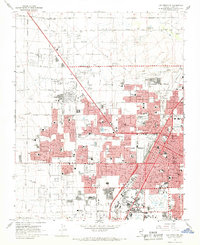
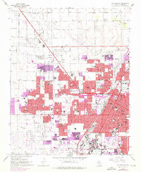
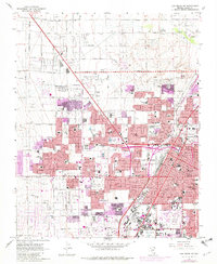
Editions of this 1967 Las Vegas NW Map
6 editions found
Other maps of this area

1907 · Las Vegas
USGS Topo · 1:250,000

1908 · Las Vegas
USGS Topo · 1:250,000

1952 · Corn Creek Springs
USGS Topo · 1:62,500

1952 · Gass Peak
USGS Topo · 1:62,500

1952 · Blue Diamond
USGS Topo · 1:62,500

1952 · Las Vegas
USGS Topo · 1:62,500

1954 · Las Vegas
USGS Topo · 1:250,000

1957 · Las Vegas
USGS Topo · 1:250,000

1959 · Las Vegas
USGS Topo · 1:250,000

1962 · Las Vegas
USGS Topo · 1:250,000