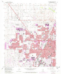
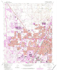
1967 Map of Las Vegas NW
USGS Topo · Published 1982About this map
North Las Vegas and the northwest expansion of Las Vegas are documented here during a period of rapid mid-century growth. The map illustrates a landscape transitioning from the desert floor to a densely gridded urban environment, anchored by the North Las Vegas Air Terminal and the Union Pacific rail line. Educational and civic infrastructure is prominent, featuring numerous parochial and public institutions such as Our Lady of Las Vegas Sch, Bishop Gorman Sch, and the County Courthouse.
Find a feature on this map
75 named features on this map. Tap any name to fly to it.
Don’t see what you’re looking for? This feature index may not catch every label — zoom into the map to look around manually.
Map Details
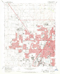
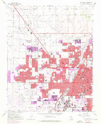
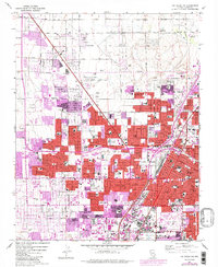
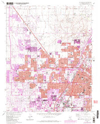
Editions of this 1967 Las Vegas NW Map
6 editions found
Other maps of this area

1907 · Las Vegas
USGS Topo · 1:250,000

1908 · Las Vegas
USGS Topo · 1:250,000

1952 · Corn Creek Springs
USGS Topo · 1:62,500

1952 · Gass Peak
USGS Topo · 1:62,500

1952 · Blue Diamond
USGS Topo · 1:62,500

1952 · Las Vegas
USGS Topo · 1:62,500

1954 · Las Vegas
USGS Topo · 1:250,000

1957 · Las Vegas
USGS Topo · 1:250,000

1959 · Las Vegas
USGS Topo · 1:250,000

1962 · Las Vegas
USGS Topo · 1:250,000