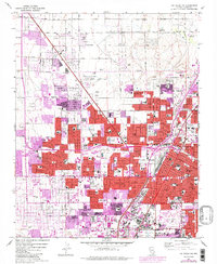
1967 Map of Las Vegas NW
USGS Topo · Published 1984About this map
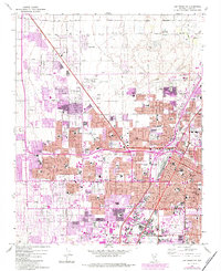
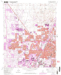
Las Vegas and North Las Vegas expand rapidly across the desert floor in this detailed look at the valley during a period of massive mid-century growth. The map illustrates the shifting urban boundary as residential developments, indicated by purple and red tints, push toward Lone Mtn and the numerous gravel pits at the city’s edge. Infrastructure like the Union Pacific rail line and North Las Vegas Air Terminal anchor the industrial and transport sectors, while the nascent Strip area begins to take shape near the Convention Center. Community life is centered around a dense network of local institutions, from the County Courthouse and Southern Memorial Hospital to dozens of neighborhood schools like Bishop Gorman Sch and Western High Sch. Pockets of recreation including the Municipal Golf Course and Lorenzi Park provide green space amidst the grid of evolving desert thoroughfares.
Find a feature on this map
69 named features on this map. Tap any name to fly to it.
Don’t see what you’re looking for? This feature index may not catch every label — zoom into the map to look around manually.
Map Details
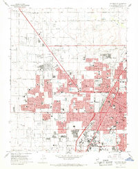
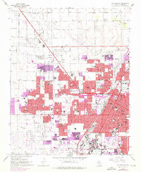
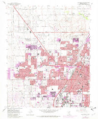
Editions of this 1967 Las Vegas NW Map
6 editions found
Other maps of this area

1907 · Las Vegas
USGS Topo · 1:250,000

1908 · Las Vegas
USGS Topo · 1:250,000

1952 · Corn Creek Springs
USGS Topo · 1:62,500

1952 · Gass Peak
USGS Topo · 1:62,500

1952 · Blue Diamond
USGS Topo · 1:62,500

1952 · Las Vegas
USGS Topo · 1:62,500

1954 · Las Vegas
USGS Topo · 1:250,000

1957 · Las Vegas
USGS Topo · 1:250,000

1959 · Las Vegas
USGS Topo · 1:250,000

1962 · Las Vegas
USGS Topo · 1:250,000