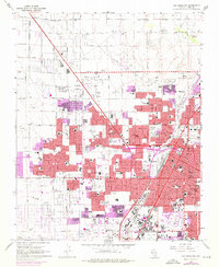
1967 Map of Las Vegas NW
USGS Topo · Published 1976About this map
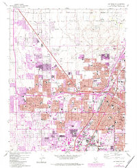
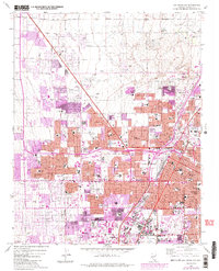
The North Las Vegas Air Terminal and the Municipal Golf Course anchor a landscape in rapid transition during the late 1960s and early 1970s. This survey records the suburban expansion of Las Vegas and North Las Vegas into the desert, with revisions showing new residential blocks pushing northwest beyond Smoke Ranch Rd. The density of the city core is visible around City Hall and the County Courthouse, while educational infrastructure is remarkably detailed, featuring dozens of sites from the venerable Las Vegas High Sch to neighborhood anchors like St Francis Sch and Gibson Jr High Sch.
Find a feature on this map
85 named features on this map. Tap any name to fly to it.
Don’t see what you’re looking for? This feature index may not catch every label — zoom into the map to look around manually.
Map Details
Editions of this 1967 Las Vegas NW Map
6 editions found
Other maps of this area

1907 · Las Vegas
USGS Topo · 1:250,000

1908 · Las Vegas
USGS Topo · 1:250,000

1952 · Corn Creek Springs
USGS Topo · 1:62,500

1952 · Gass Peak
USGS Topo · 1:62,500

1952 · Blue Diamond
USGS Topo · 1:62,500

1952 · Las Vegas
USGS Topo · 1:62,500

1954 · Las Vegas
USGS Topo · 1:250,000

1957 · Las Vegas
USGS Topo · 1:250,000

1959 · Las Vegas
USGS Topo · 1:250,000

1962 · Las Vegas
USGS Topo · 1:250,000