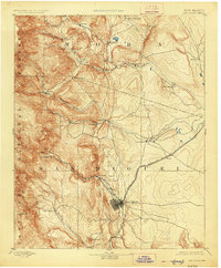
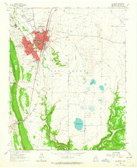
1893 Map of Las Vegas
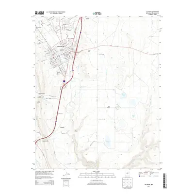
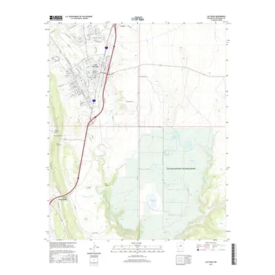
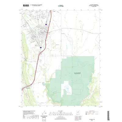
USGS Topo · Published 1926About this map
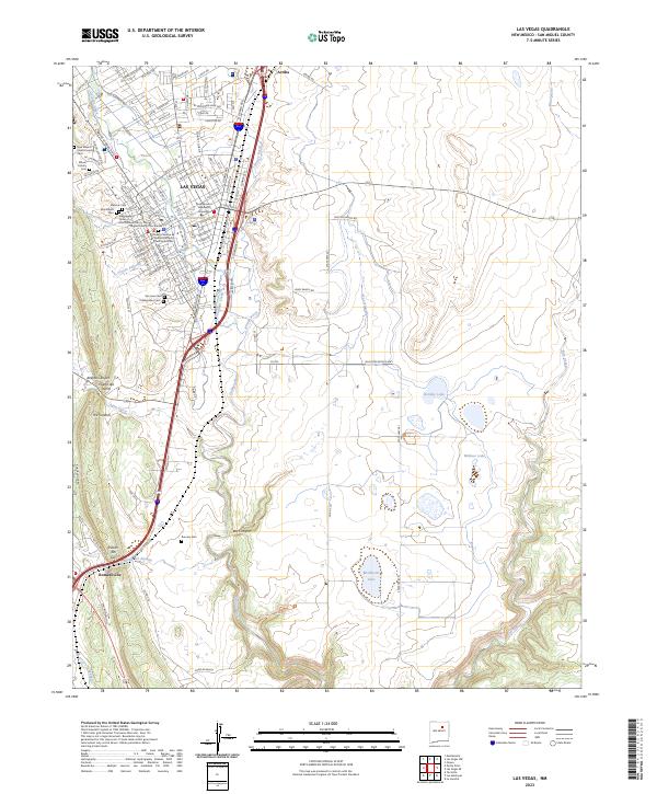
Las Vegas serves as the primary hub of this nineteenth-century New Mexican landscape, where the Atchison Topeka and Santa Fe Railroad meets the drainages of Tecolote Creek and the Las Gallinas. The map illustrates a transitional geography between the high peaks of the Santa Fe National Forest and the plains to the east. Small agricultural and ranching settlements like Sapello, La Cueva, and San Geronimo are scattered along the watercourses, including the Mora River and Manuelitas Creek.
Find a feature on this map
38 named features on this map. Tap any name to fly to it.
Don’t see what you’re looking for? This feature index may not catch every label — zoom into the map to look around manually.
Map Details
Editions of this 1893 Las Vegas Map
5 editions found
Historical Maps of Las Vegas Through Time
9 maps found
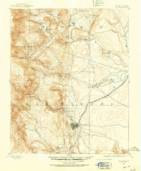
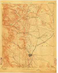
1889 Las Vegas
San Miguel County, NM

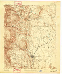
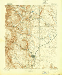
1891 Las Vegas
San Miguel County, NM
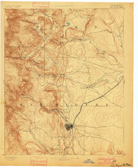
1893 Las Vegas
San Miguel County, NM
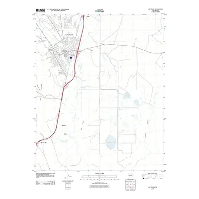
1963 Las Vegas
San Miguel County, NM
2010 Las Vegas
San Miguel County, NM
2013 Las Vegas
San Miguel County, NM
2017 Las Vegas
San Miguel County, NM
2020 Las Vegas
San Miguel County, NM
2023 Las Vegas
San Miguel County, NM