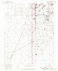
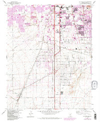
1967 Map of Las Vegas SW
USGS Topo · Published 1968About this map
M C Carran Field and the surrounding desert floor showcase the early stages of rapid urban expansion south of the city during the mid-1960s. The landscape is a transition between established educational and recreational hubs, such as Nevada Southern University and the Tropicana Country Club, and the industrial operations defining the outskirts. Extensive Gravel Pits and Gravel Prospects dot the terrain, while the Union Pacific Railroad serves as a backbone for settlements like Arden and Bracken. Notable sports venues including the Stardust International Raceway and Las Vegas Downs Racetrack appear alongside the natural drainage of Flamingo Wash and Tropicana Wash. The grid of arterial roads like Tropicana Ave and Las Vegas Blvd South indicates the burgeoning infrastructure that would soon transform this desert valley.
Find a feature on this map
56 named features on this map. Tap any name to fly to it.
Don’t see what you’re looking for? This feature index may not catch every label — zoom into the map to look around manually.
Map Details
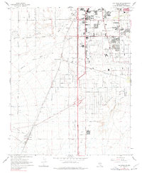
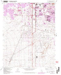
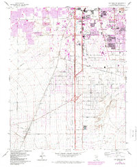
Editions of this 1967 Las Vegas SW Map
5 editions found
Other maps of this area

1907 · Las Vegas
USGS Topo · 1:250,000

1908 · Las Vegas
USGS Topo · 1:250,000

1910 · Ivanpah
USGS Topo · 1:250,000

1912 · Ivanpah
USGS Topo · 1:250,000

1942 · Ivanpah
USGS Topo · 1:250,000

1947 · Kingman
USGS Topo · 1:250,000

1948 · Kingman
USGS Topo · 1:250,000

1952 · Blue Diamond
USGS Topo · 1:62,500

1952 · Las Vegas
USGS Topo · 1:62,500

1954 · Las Vegas
USGS Topo · 1:250,000