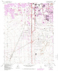
1967 Map of Las Vegas SW
USGS Topo · Published 1984About this map
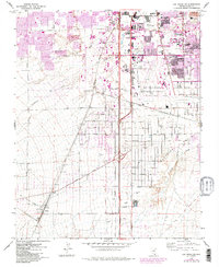
The Union Pacific Railroad cuts a diagonal path through this 1967 survey of southwestern Clark County, anchoring the small siding at Arden and the junction at Boulder Junction. This era captures a dramatic expansion phase for the valley, with purple photorevisions from the early 1980s showing the rapid outward push of suburban streets and commercial centers toward the desert. Key institutional anchors like the University of Nevada-Las Vegas and the sprawling Mc Carran International Airport are central to the landscape, signaling the region's transition into a major metropolitan hub.
Find a feature on this map
58 named features on this map. Tap any name to fly to it.
Don’t see what you’re looking for? This feature index may not catch every label — zoom into the map to look around manually.
Map Details
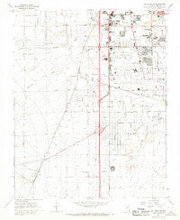
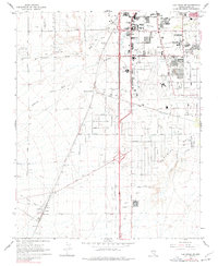
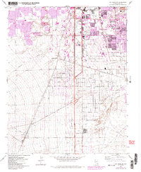
Editions of this 1967 Las Vegas SW Map
5 editions found
Other maps of this area

1907 · Las Vegas
USGS Topo · 1:250,000

1908 · Las Vegas
USGS Topo · 1:250,000

1910 · Ivanpah
USGS Topo · 1:250,000

1912 · Ivanpah
USGS Topo · 1:250,000

1942 · Ivanpah
USGS Topo · 1:250,000

1947 · Kingman
USGS Topo · 1:250,000

1948 · Kingman
USGS Topo · 1:250,000

1952 · Blue Diamond
USGS Topo · 1:62,500

1952 · Las Vegas
USGS Topo · 1:62,500

1954 · Las Vegas
USGS Topo · 1:250,000