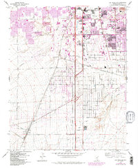
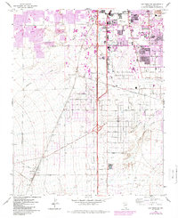
1967 Map of Las Vegas SW
USGS Topo · Published 1984About this map
Mc Carran International Airport and the surrounding valley floor serve as the focal point for this mid-century look at the Las Vegas basin. The landscape is defined by the rapid encroachment of urban development upon the desert floor, marked by the expansive campus of the University of Nevada-Las Vegas and the green fairways of the Tropicana Country Club. While the grid of Tropicana Ave and Flamingo Road begins to dominate the northeast, the southwestern portion of the sheet remains largely open, characterized by the Union Pacific line and an Old Railroad Grade cutting across the alluvial fans.
Find a feature on this map
40 named features on this map. Tap any name to fly to it.
Don’t see what you’re looking for? This feature index may not catch every label — zoom into the map to look around manually.
Map Details
Editions of this 1967 Las Vegas SW Map
5 editions found
Other maps of this area

1907 · Las Vegas
USGS Topo · 1:250,000

1908 · Las Vegas
USGS Topo · 1:250,000

1910 · Ivanpah
USGS Topo · 1:250,000

1912 · Ivanpah
USGS Topo · 1:250,000

1942 · Ivanpah
USGS Topo · 1:250,000

1947 · Kingman
USGS Topo · 1:250,000

1948 · Kingman
USGS Topo · 1:250,000

1952 · Blue Diamond
USGS Topo · 1:62,500

1952 · Las Vegas
USGS Topo · 1:62,500

1954 · Las Vegas
USGS Topo · 1:250,000