
1893 Map of Lasalle
USGS Topo · Published 1893About this map
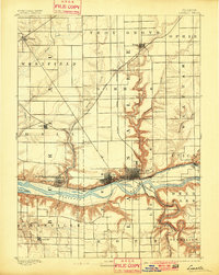
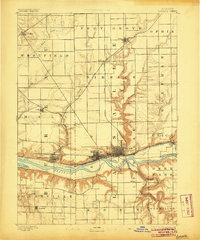
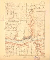
Industrial and transport networks converge along the Illinois River corridor in this late nineteenth-century mapping of LaSalle County. The map documents the critical transition from water-based commerce to heavy rail, showing the Illinois and Michigan Canal running parallel to a dense web of competing rail lines, including the Chicago Rock Island and Pacific Railroad and the Illinois Central Railroad. The settlements of La Salle, Peru, and Spring Valley appear as established urban centers, their street grids clearly defined against the surrounding agricultural townships like Troy Grove and Waltham. The sharp bluffs of the river valley provide a striking contrast to the flat prairie above, where smaller outposts like Ladd and Dimmick served the expanding rural and mining economy. To the south, the winding Vermilion River and Little Vermilion River cut through the landscape toward Oglesby and Lowell, marking an area rich in natural resources and early manufacturing potential.
Find a feature on this map
39 named features on this map. Tap any name to fly to it.
Don’t see what you’re looking for? This feature index may not catch every label — zoom into the map to look around manually.
Map Details
Editions of this 1893 Lasalle Map
4 editions found
Other maps of this area

1892 · Ottawa
USGS Topo · 1:62,500

1893 · Lacon
USGS Topo · 1:62,500

1893 · Hennepin
USGS Topo · 1:62,500

1909 · Hennepin
USGS Topo · 1:62,500

1911 · La Salle
USGS Topo · 1:62,500

1911 · Hennepin
USGS Topo · 1:62,500

1913 · La Salle
USGS Topo · 1:62,500

1915 · Ottawa
USGS Topo · 1:62,500

1925 · Streator
USGS Topo · 1:62,500

1927 · Streator
USGS Topo · 1:62,500