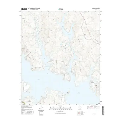
2016 Map of Lassater
USGS Topo · Published 2016About this map
Lake O' the Pines dominates this landscape in Marion and Harrison counties, where the sprawling reservoir meets a network of creeks and small inlets. The community of Lassater sits along the eastern edge of the water, while the smaller settlements of Orrs, Warlock, and Pine Harbor are spread across the surrounding wooded hills. Notable family and historical landmarks are scattered throughout, including the Pyland Cem and Felix A Smith Lake.
Find a feature on this map
76 named features on this map. Tap any name to fly to it.
Don’t see what you’re looking for? This feature index may not catch every label — zoom into the map to look around manually.
Map Details
Editions of this 2016 Lassater Map
This is the sole edition of this map. No revisions or reprints were ever made.
Other maps of this area

1956 · Tyler
USGS Topo · 1:250,000

1961 · Cunningham Creek
USGS Topo · 1:24,000

1961 · Lassater
USGS Topo · 1:24,000

1961 · Harleton
USGS Topo · 1:24,000

1962 · Kellyville
USGS Topo · 1:24,000

1962 · Marshall NW
USGS Topo · 1:24,000

1962 · Ashland
USGS Topo · 1:24,000

1962 · Avinger
USGS Topo · 1:24,000

1962 · Ore City
USGS Topo · 1:24,000

1962 · Lone Star
USGS Topo · 1:24,000