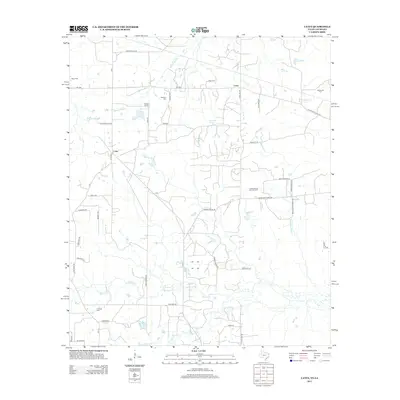
2013 Map of Latex
USGS Topo · Published 2013About this map
The settlement of Latex straddles the border between Louisiana and Texas, serving as a focal point for this landscape of rural parishes and counties. The area is defined by a heavy presence of family and community burial grounds, including Davis Cem, Dean Cem, and McDonald Cem, which offer significant value for genealogical research. The local economy and land use are shaped by resource extraction and natural hydrology, evidenced by the Longwood Oil and Gas Field and numerous watercourses like Watson Bayou and Republican Bayou.
Find a feature on this map
52 named features on this map. Tap any name to fly to it.
Don’t see what you’re looking for? This feature index may not catch every label — zoom into the map to look around manually.
Map Details
Editions of this 2013 Latex Map
This is the sole edition of this map. No revisions or reprints were ever made.
Other maps of this area

1943 · Waskom
USGS Topo · 1:62,500

1944 · Caddo Lake
USGS Topo · 1:62,500

1945 · Waskom
USGS Topo · 1:62,500

1945 · Greenwood
USGS Topo · 1:62,500

1946 · Caddo Lake
USGS Topo · 1:62,500

1948 · Mooringsport
USGS Topo · 1:62,500

1955 · Shreveport
USGS Topo · 1:250,000

1955 · Mooringsport
USGS Topo · 1:62,500

1955 · Greenwood
USGS Topo · 1:62,500

1956 · Shreveport
USGS Topo · 1:250,000