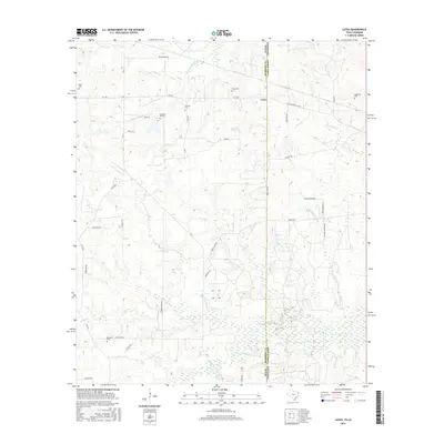
2016 Map of Latex
USGS Topo · Published 2016About this map
The borderlands of East Texas and Northwest Louisiana are defined here by the meeting of Texas and Louisiana, where the small community of Latex sits directly on the state line. This modern survey captures a landscape interwoven with history, marked by numerous small family or community burial grounds including Davis Cem, Swanson Cem, and Dean Cem. The terrain is shaped by a dense network of waterways like Watson Bayou, Miller Br, and Coushatta Spring, which flow through the low-lying areas of Harrison County and Caddo Parish. The road network, including FM 1999 and FM 9, connects scattered homesites and agricultural tracts, while names such as Republican Bayou and Piney Bayou reflect the traditional nomenclature of the Gulf Coastal Plain.
Find a feature on this map
43 named features on this map. Tap any name to fly to it.
Don’t see what you’re looking for? This feature index may not catch every label — zoom into the map to look around manually.
Map Details
Editions of this 2016 Latex Map
This is the sole edition of this map. No revisions or reprints were ever made.
Other maps of this area

1943 · Waskom
USGS Topo · 1:62,500

1944 · Caddo Lake
USGS Topo · 1:62,500

1945 · Waskom
USGS Topo · 1:62,500

1945 · Greenwood
USGS Topo · 1:62,500

1946 · Caddo Lake
USGS Topo · 1:62,500

1948 · Mooringsport
USGS Topo · 1:62,500

1955 · Shreveport
USGS Topo · 1:250,000

1955 · Mooringsport
USGS Topo · 1:62,500

1955 · Greenwood
USGS Topo · 1:62,500

1956 · Shreveport
USGS Topo · 1:250,000