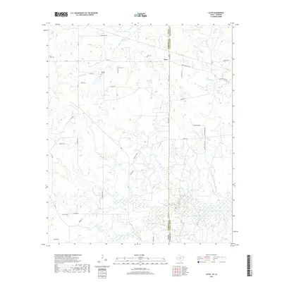
2019 Map of Latex
USGS Topo · Published 2019About this map
Latex straddles the border between Harrison County, Texas, and Caddo Parish, Louisiana, anchored by the long north-south corridor of State Line Rd. This modern-era survey shows a landscape defined by its rural cemetery network and the intricate drainage of the Red River basin, including Watson Bayou and Republican Bayou. The placement of Dean Cem, Swanson Cem, and Pleasant Hill Cem suggests historic family holdings and church sites that have persisted alongside 20th-century road improvements like FM 1999. Water sources such as Coushatta Spring and the winding Bullard Creek provide a clear view of the low-lying terrain that has shaped local agriculture and habitation patterns for generations across this interstate boundary.
Find a feature on this map
44 named features on this map. Tap any name to fly to it.
Don’t see what you’re looking for? This feature index may not catch every label — zoom into the map to look around manually.
Map Details
Editions of this 2019 Latex Map
This is the sole edition of this map. No revisions or reprints were ever made.
Other maps of this area

1943 · Waskom
USGS Topo · 1:62,500

1944 · Caddo Lake
USGS Topo · 1:62,500

1945 · Waskom
USGS Topo · 1:62,500

1945 · Greenwood
USGS Topo · 1:62,500

1946 · Caddo Lake
USGS Topo · 1:62,500

1948 · Mooringsport
USGS Topo · 1:62,500

1955 · Shreveport
USGS Topo · 1:250,000

1955 · Mooringsport
USGS Topo · 1:62,500

1955 · Greenwood
USGS Topo · 1:62,500

1956 · Shreveport
USGS Topo · 1:250,000