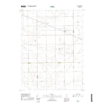
2018 Map of Latham
USGS Topo · Published 2018About this map
Latham serves as the primary hub of this Central Illinois landscape, where the confluence of three counties—Logan, Macon, and Sangamon—defines the local geography. The village's street grid, including E 2nd St, is situated near Laenna Lake, a small water body just west of the town center. The surrounding agricultural prairie is drained by a complex network of waterways, most notably the N Fork Lake Fork and S Fork Lake Fork, which meander through the township lines of T18N R1W and T17N R1W.
Find a feature on this map
62 named features on this map. Tap any name to fly to it.
Don’t see what you’re looking for? This feature index may not catch every label — zoom into the map to look around manually.
Map Details
Editions of this 2018 Latham Map
This is the sole edition of this map. No revisions or reprints were ever made.
Other maps of this area

1911 · Lincoln
USGS Topo · 1:62,500

1913 · Lincoln
USGS Topo · 1:62,500

1954 · Niantic
USGS Topo · 1:62,500

1954 · Mechanicsburg
USGS Topo · 1:62,500

1957 · Kenney
USGS Topo · 1:62,500

1958 · Peoria
USGS Topo · 1:250,000

1958 · Decatur
USGS Topo · 1:250,000

1961 · Peoria
USGS Topo · 1:250,000

1961 · Decatur
USGS Topo · 1:250,000

1963 · Peoria
USGS Topo · 1:250,000