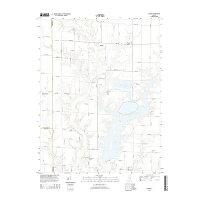
2015 Map of Latona
USGS Topo · Published 2015About this map
Newton Lake dominates the southern half of this landscape, its sprawling shoreline creating a complex network of inlets and coves where Big Muddy Cr and Sandy Cr once flowed unimpeded. The settlement of Latona sits near the center of a grid-like road system, surrounded by family-named landmarks that speak to the deep roots of Jasper County's rural communities. Genealogists will find a wealth of burial sites tucked between agricultural tracts and water bodies, including Headyville Cem and Worthey Cem. The western edge shows the intersection of county lines where Jasper, Effingham, and Clay meet near the small community of Winterrowd. This survey captures the modern hydraulic landscape of the region, where managed water bodies like Burgett Lake coexist with natural drainages such as Crabapple Cr and Weather Cr.
Find a feature on this map
65 named features on this map. Tap any name to fly to it.
Don’t see what you’re looking for? This feature index may not catch every label — zoom into the map to look around manually.
Map Details
Editions of this 2015 Latona Map
This is the sole edition of this map. No revisions or reprints were ever made.
Other maps of this area

1940 · Greenup
USGS Topo · 1:62,500

1941 · Newton
USGS Topo · 1:62,500

1943 · Greenup
USGS Topo · 1:62,500

1943 · Newton
USGS Topo · 1:62,500

1953 · Teutopolis
USGS Topo · 1:62,500

1953 · Sailor Springs
USGS Topo · 1:62,500

1958 · Decatur
USGS Topo · 1:250,000

1958 · Belleville
USGS Topo · 1:250,000

1961 · Decatur
USGS Topo · 1:250,000

1962 · Belleville
USGS Topo · 1:250,000