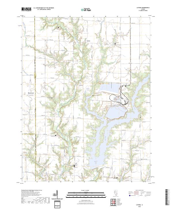
2024 Map of Latona
USGS Topo · Published 2024About this map
Newton Lake and its branching southern inlets dominate the lower portion of this landscape, where the waters of Sandy Creek and Laws Creek converge. The surrounding terrain in southwestern Jasper County is defined by a dense network of small waterways, including Big Muddy Creek and Crabapple Creek, which carve through the rural acreage. Small crossroads settlements such as Latona and Winterrowd anchor the local road grid, serving as quiet centers for the surrounding farmsteads.
Find a feature on this map
67 named features on this map. Tap any name to fly to it.
Don’t see what you’re looking for? This feature index may not catch every label — zoom into the map to look around manually.
Map Details
Editions of this 2024 Latona Map
This is the sole edition of this map. No revisions or reprints were ever made.
Other maps of this area

1940 · Greenup
USGS Topo · 1:62,500

1941 · Newton
USGS Topo · 1:62,500

1943 · Greenup
USGS Topo · 1:62,500

1943 · Newton
USGS Topo · 1:62,500

1953 · Teutopolis
USGS Topo · 1:62,500

1953 · Sailor Springs
USGS Topo · 1:62,500

1958 · Decatur
USGS Topo · 1:250,000

1958 · Belleville
USGS Topo · 1:250,000

1961 · Decatur
USGS Topo · 1:250,000

1962 · Belleville
USGS Topo · 1:250,000