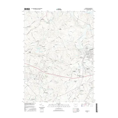
2016 Map of Latrobe
USGS Topo · Published 2016About this map
St. Vincent College and the neighboring Saint Vincent Shaft anchor the central landscape of this Westmoreland County study. The city of Latrobe dominates the eastern edge, where the Norfolk Southern rail line follows the winding course of Loyalhanna Creek. This 2016 survey documents the modern footprint of numerous historic coal-patch towns and industrial settlements, including Luxor, Hostetter, and Hannastown. Local history and genealogy researchers can locate several significant burial grounds such as Saint Xavier Cem and Calvary Hill Cem. The industrial legacy of the region is evident in the water management systems, from the Unity Reservoir to the Marguerite Reservoir, while modern transportation is represented by the expansive Arnold Palmer Regional Airport.
Find a feature on this map
239 named features on this map. Tap any name to fly to it.
Don’t see what you’re looking for? This feature index may not catch every label — zoom into the map to look around manually.
Map Details
Editions of this 2016 Latrobe Map
This is the sole edition of this map. No revisions or reprints were ever made.
Other maps of this area

1900 · Latrobe
USGS Topo · 1:62,500

1902 · Latrobe
USGS Topo · 1:62,500

1902 · Connellsville
USGS Topo · 1:62,500

1903 · Latrobe
USGS Topo · 1:62,500

1904 · Greensburg
USGS Topo · 1:62,500

1906 · Greensburg
USGS Topo · 1:62,500

1922 · Donegal
USGS Topo · 1:62,500

1931 · Connellsville
USGS Topo · 1:62,500

1935 · Donegal
USGS Topo · 1:62,500

1936 · Connellsville
USGS Topo · 1:62,500