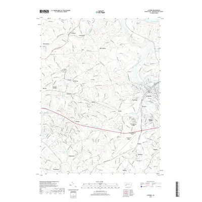
2019 Map of Latrobe
USGS Topo · Published 2019About this map
Latrobe serves as the industrial and population hub of this Westmoreland County landscape, where the Loyalhanna Creek corridor meets a complex network of mining and residential settlements. The map documents a distinct concentration of academic and religious institutions southwest of the city center, notably the campus of Saint Vincent College and the Saint Vincent Seminary. This area is further defined by its namesake water bodies, Saint Vincent Lake and Monastery Run.
Find a feature on this map
251 named features on this map. Tap any name to fly to it.
Don’t see what you’re looking for? This feature index may not catch every label — zoom into the map to look around manually.
Map Details
Editions of this 2019 Latrobe Map
This is the sole edition of this map. No revisions or reprints were ever made.
Other maps of this area

1900 · Latrobe
USGS Topo · 1:62,500

1902 · Latrobe
USGS Topo · 1:62,500

1902 · Connellsville
USGS Topo · 1:62,500

1903 · Latrobe
USGS Topo · 1:62,500

1904 · Greensburg
USGS Topo · 1:62,500

1906 · Greensburg
USGS Topo · 1:62,500

1922 · Donegal
USGS Topo · 1:62,500

1931 · Connellsville
USGS Topo · 1:62,500

1935 · Donegal
USGS Topo · 1:62,500

1936 · Connellsville
USGS Topo · 1:62,500