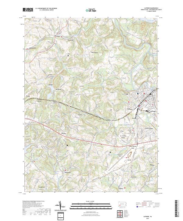
2023 Map of Latrobe
USGS Topo · Published 2023About this map
Latrobe and its industrial environs are anchored by a mix of educational institutions and legacy coal infrastructure. The prominent campus of Saint Vincent College and the Saint Vincent Seminary sit near the geographic center of the quadrangle, adjacent to the historic Saint Vincent Shaft. The surrounding landscape is dotted with company towns and mining settlements such as Hannastown, Hostetter, and Luxor, the latter of which still shows the location of the Luxor School.
Find a feature on this map
246 named features on this map. Tap any name to fly to it.
Don’t see what you’re looking for? This feature index may not catch every label — zoom into the map to look around manually.
Map Details
Editions of this 2023 Latrobe Map
This is the sole edition of this map. No revisions or reprints were ever made.
Other maps of this area

1900 · Latrobe
USGS Topo · 1:62,500

1902 · Latrobe
USGS Topo · 1:62,500

1902 · Connellsville
USGS Topo · 1:62,500

1903 · Latrobe
USGS Topo · 1:62,500

1904 · Greensburg
USGS Topo · 1:62,500

1906 · Greensburg
USGS Topo · 1:62,500

1922 · Donegal
USGS Topo · 1:62,500

1931 · Connellsville
USGS Topo · 1:62,500

1935 · Donegal
USGS Topo · 1:62,500

1936 · Connellsville
USGS Topo · 1:62,500
Featured Places
- Latrobe, PA
- Loyalhanna, Derry Township
- Salem Township, PA
- Derry Township, PA
- Saint Vincent Shaft, Unity Township