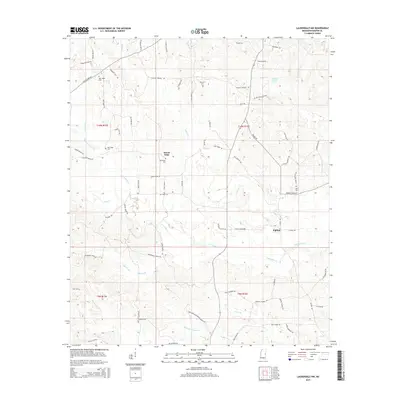
2015 Map of Lauderdale NW
USGS Topo · Published 2015About this map
Kipling and Mount Nebo anchor this rural Mississippi landscape, characterized by a dense network of family-named roads and watercourses. The terrain is defined by the winding paths of Pawticfaw Cr and Yazoo Cr, which divide the land into distinct sections of ridges and valleys. Small community centers are marked by localized landmarks such as Pawticfaw Cem and New Hope Cem, while the hydrologic profile includes Bruton Pond and several named branches like Mineral Springs Br and Seals Br.
Find a feature on this map
75 named features on this map. Tap any name to fly to it.
Don’t see what you’re looking for? This feature index may not catch every label — zoom into the map to look around manually.
Map Details
Editions of this 2015 Lauderdale NW Map
This is the sole edition of this map. No revisions or reprints were ever made.
Other maps of this area

1953 · Meridian
USGS Topo · 1:250,000

1957 · Meridian
USGS Topo · 1:250,000

1962 · Lynville
USGS Topo · 1:24,000

1962 · Daleville
USGS Topo · 1:24,000

1962 · Lauderdale
USGS Topo · 1:24,000

1962 · Lauderdale NW
USGS Topo · 1:24,000

1962 · Center Hill
USGS Topo · 1:24,000

1962 · Oak Grove
USGS Topo · 1:24,000

1962 · Moscow
USGS Topo · 1:24,000

1963 · De Kalb
USGS Topo · 1:24,000