
1962 Map of Lauderdale NW
USGS Topo · Published 1963About this map
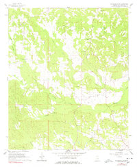
Pawticfaw Creek and its many tributaries, including Steel Creek and Yazoo Creek, define the drainage patterns of this Kemper County landscape in the early 1960s. The area is characterized by a network of rural congregations and family burial grounds that serve as the primary landmarks for local history. Several churches, such as Beulah Ch and Pleasant Ridge Ch, are central to the scattered homesteads, while the Hampton Cem and Rush Cem provide essential data points for genealogical research.
Find a feature on this map
24 named features on this map. Tap any name to fly to it.
Don’t see what you’re looking for? This feature index may not catch every label — zoom into the map to look around manually.
Map Details
Editions of this 1962 Lauderdale NW Map
4 editions found
Other maps of this area

1953 · Meridian
USGS Topo · 1:250,000

1957 · Meridian
USGS Topo · 1:250,000

1962 · Lynville
USGS Topo · 1:24,000

1962 · Daleville
USGS Topo · 1:24,000

1962 · Lauderdale
USGS Topo · 1:24,000

1962 · Center Hill
USGS Topo · 1:24,000

1962 · Oak Grove
USGS Topo · 1:24,000

1962 · Moscow
USGS Topo · 1:24,000

1963 · De Kalb
USGS Topo · 1:24,000

1963 · Townsend
USGS Topo · 1:24,000