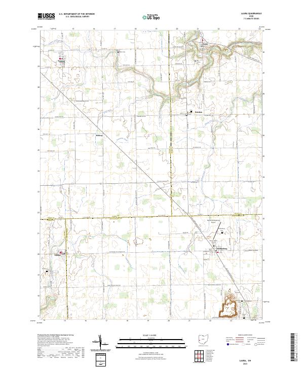
2023 Map of Laura
USGS Topo · Published 2023About this map
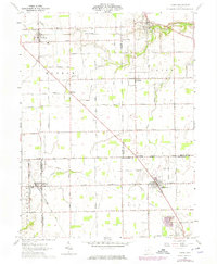
Laura and Phillipsburg anchor this rural landscape where the headwaters of Ludlow Creek and Brush Creek meet the agricultural fields of the western Ohio borderlands. The terrain is a network of drainage ditches and family-named landmarks, reflecting generations of land management through features like Browns Ditch, Feitshams Ditch, and Shank Ditch. Small crossroads settlements including Potsdam, Pittsburg, and Midway are connected by a grid of county roads that cross numerous township lines and county boundaries, including the meeting point of Miami, Darke, Montgomery, and Preble counties.
Find a feature on this map
81 named features on this map. Tap any name to fly to it.
Don’t see what you’re looking for? This feature index may not catch every label — zoom into the map to look around manually.
Map Details
Editions of this 2023 Laura Map
This is the sole edition of this map. No revisions or reprints were ever made.