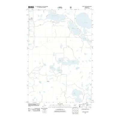
2011 Map of Laura Lake
USGS Topo · Published 2011About this map
Salem Lutheran Church and the adjacent Salem Lutheran Cemetery anchor the northwestern landscape of this Cass County region, situated near the shores of Inguadona Lake. The area is defined by a dense network of glacial lakes and waterways, including the winding Trelipe Creek which connects Lower Trelipe Lake and Upper Trelipe Lake. These water bodies are central to local activity, evidenced by the Safe Air Seaplane Base on the western shore and the small settlement of Snowball tucked between the larger lakes.
Find a feature on this map
36 named features on this map. Tap any name to fly to it.
Don’t see what you’re looking for? This feature index may not catch every label — zoom into the map to look around manually.
Map Details
Editions of this 2011 Laura Lake Map
This is the sole edition of this map. No revisions or reprints were ever made.
Other maps of this area

1953 · Duluth
USGS Topo · 1:250,000

1953 · Brainerd
USGS Topo · 1:250,000

1954 · Bemidji
USGS Topo · 1:250,000

1954 · Hibbing
USGS Topo · 1:250,000

1957 · Brainerd
USGS Topo · 1:250,000

1957 · Bemidji
USGS Topo · 1:250,000

1957 · Hibbing
USGS Topo · 1:250,000

1958 · Bemidji
USGS Topo · 1:250,000

1958 · Hibbing
USGS Topo · 1:250,000

1958 · Brainerd
USGS Topo · 1:250,000