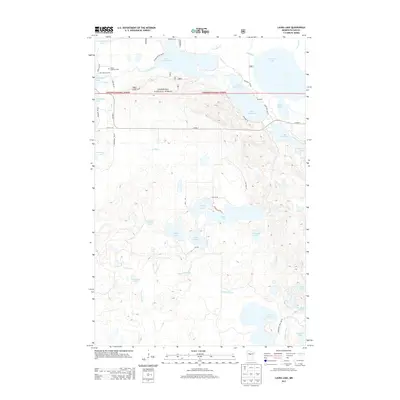
2013 Map of Laura Lake
USGS Topo · Published 2013About this map
The Chippewa National Forest dominates the northern reaches of this Minnesota landscape, where a complex network of waterways connects deep glacial lakes. The northern boundary is defined by the expansive Lower Trelipe Lake and Upper Trelipe Lake, while the southern portion features the elongated Washburn Lake and Lake George. The small community of Snowball sits at the junction of Snowball Rd NE and Twp Hwy 43, representing the sparse residential development in this densely wooded region. For local historians and genealogists, the Salem Lutheran Cem near Inguadonna Lake serves as a significant landmark for tracing early settlement. The geography is heavily influenced by the drainage patterns of Trelipe Creek and Daggett Brook, which weave through the numerous smaller basins like Mitten Lake and Lake Twentysix.
Find a feature on this map
44 named features on this map. Tap any name to fly to it.
Don’t see what you’re looking for? This feature index may not catch every label — zoom into the map to look around manually.
Map Details
Editions of this 2013 Laura Lake Map
This is the sole edition of this map. No revisions or reprints were ever made.
Other maps of this area

1953 · Duluth
USGS Topo · 1:250,000

1953 · Brainerd
USGS Topo · 1:250,000

1954 · Bemidji
USGS Topo · 1:250,000

1954 · Hibbing
USGS Topo · 1:250,000

1957 · Brainerd
USGS Topo · 1:250,000

1957 · Bemidji
USGS Topo · 1:250,000

1957 · Hibbing
USGS Topo · 1:250,000

1958 · Bemidji
USGS Topo · 1:250,000

1958 · Hibbing
USGS Topo · 1:250,000

1958 · Brainerd
USGS Topo · 1:250,000