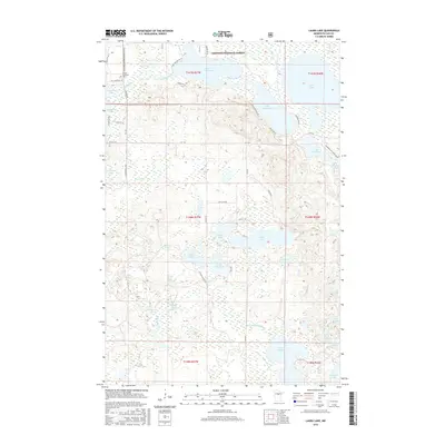
2016 Map of Laura Lake
USGS Topo · Published 2016About this map
The Chippewa National Forest provides a backdrop for this lakeland region in Cass County, where water dominates the landscape in a complex network of basins and streams. To the northwest, near the Salem Lutheran church and its adjacent Cem, the terrain is defined by Inguadona Lake and the Trelipe Cr drainage. Central features like Island Lake and Lake Twentysix are surrounded by a dense grid of forest roads, including Twp Rd 50 and Co 55 Ne, which weave through the marshy lowland. This map documents a high concentration of recreational and timber infrastructure, from the Lost Girl Gia Snowmobile Trail to the Daggett Brook Reservoir. The eastern edge highlights larger water bodies such as Laura Lake and Thunder Lake, illustrating how glacial activity shaped the drainage patterns of the Boy River watershed.
Find a feature on this map
52 named features on this map. Tap any name to fly to it.
Don’t see what you’re looking for? This feature index may not catch every label — zoom into the map to look around manually.
Map Details
Editions of this 2016 Laura Lake Map
This is the sole edition of this map. No revisions or reprints were ever made.
Other maps of this area

1953 · Duluth
USGS Topo · 1:250,000

1953 · Brainerd
USGS Topo · 1:250,000

1954 · Bemidji
USGS Topo · 1:250,000

1954 · Hibbing
USGS Topo · 1:250,000

1957 · Brainerd
USGS Topo · 1:250,000

1957 · Bemidji
USGS Topo · 1:250,000

1957 · Hibbing
USGS Topo · 1:250,000

1958 · Bemidji
USGS Topo · 1:250,000

1958 · Hibbing
USGS Topo · 1:250,000

1958 · Brainerd
USGS Topo · 1:250,000