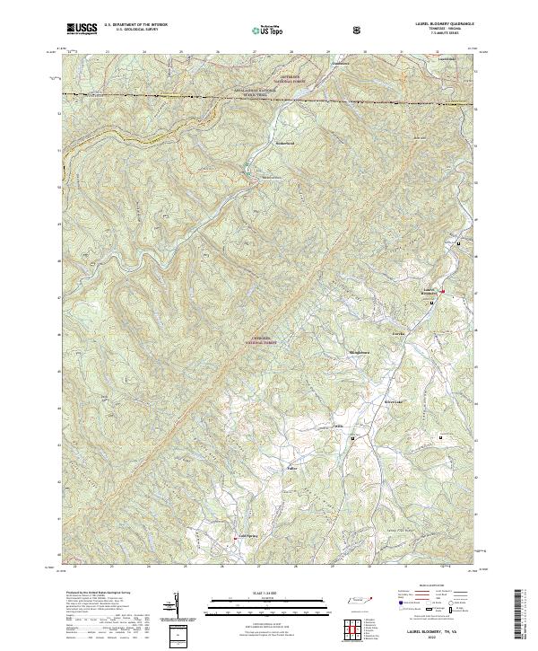
2022 Map of Laurel Bloomery
USGS Topo · Published 2022About this map
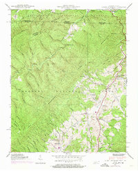
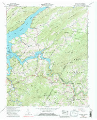
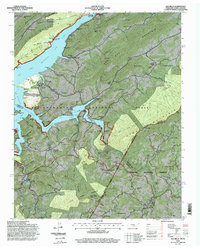
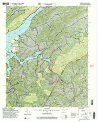
Laurel Bloomery serves as a central hub in this corner of Northeast Tennessee and Southwest Virginia, where the landscape is defined by the high ridges of the Cherokee National Forest and Jefferson National Forest. The map documents a complex network of mountain drainages, including Beaverdam Cr and Laurel Cr, which have historically shaped the settlement patterns of communities like Sutherland, Damascus, and Wills. Genealogical interest is found in the scattered family burial grounds, such as Wills Cem and Cornett Cem, located along the winding valley roads. The presence of the Appalachian National Scenic Trl and unique geological landmarks like Backbone Rock highlights the area's transition from a timber-and-iron resource region to one preserved for public land use, while small hamlets such as Eureka and Shingletown reflect the legacy of early local industries.
Find a feature on this map
98 named features on this map. Tap any name to fly to it.
Don’t see what you’re looking for? This feature index may not catch every label — zoom into the map to look around manually.
Map Details
Editions of this 2022 Laurel Bloomery Map
This is the sole edition of this map. No revisions or reprints were ever made.
Historical Maps of Fuller Through Time
11 maps found
1935 Doe
Johnson County, TN
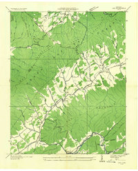
1935 Laurel Bloomery
Johnson County, TN
1938 Doe
Johnson County, TN
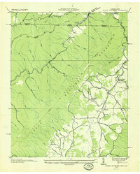
1938 Laurel Bloomery
Johnson County, TN
1959 Elk Mills
Johnson County, TN
1994 Elk Mills
Johnson County, TN
2003 Elk Mills
Johnson County, TN
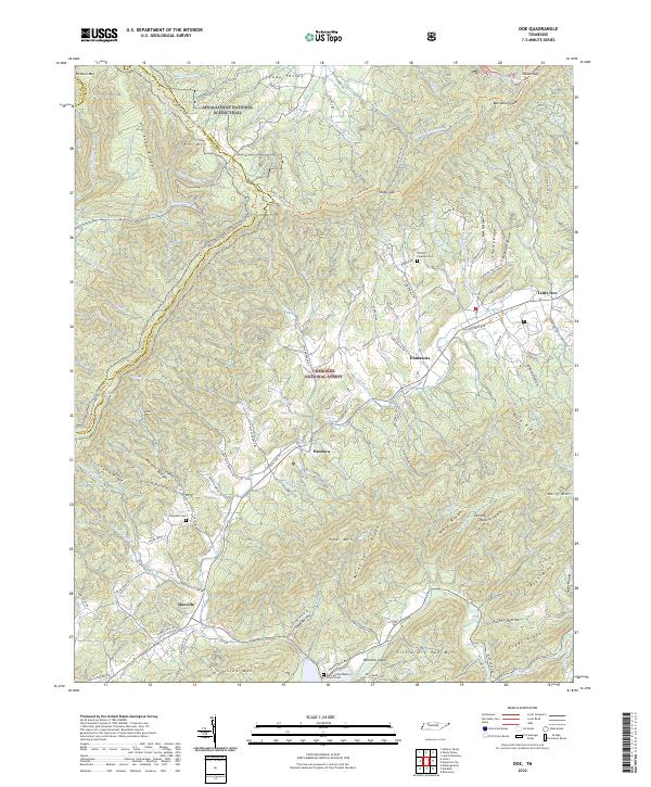
2022 Doe
Johnson County, TN
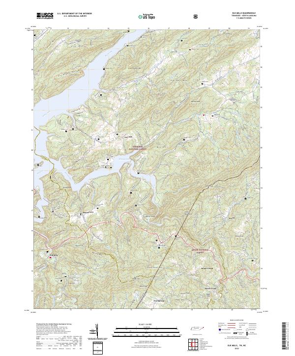
2022 Elk Mills
Johnson County, TN
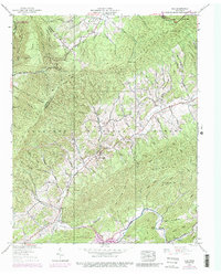
2022 Laurel Bloomery
Johnson County, TN
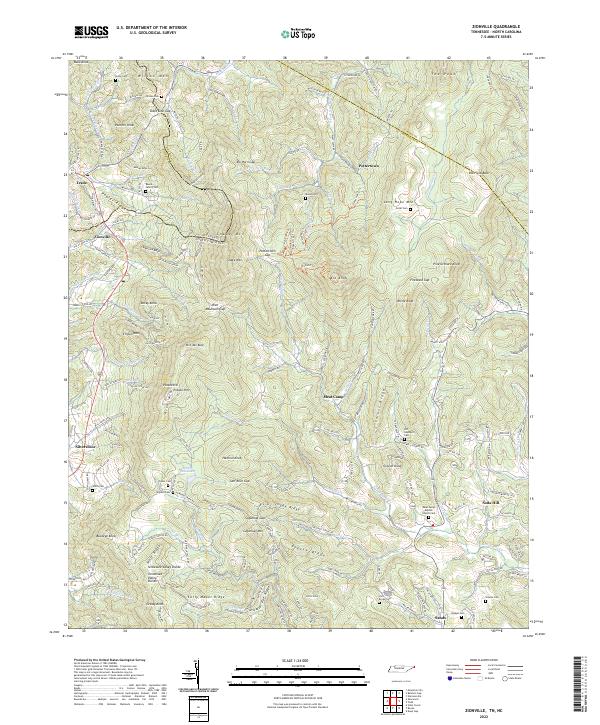
2022 Zionville
Johnson County, TN