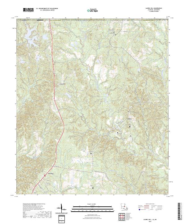
2024 Map of Laurel Hill
USGS Topo · Published 2024This historical map portrays the area of Laurel Hill in 2024, primarily covering West Feliciana Parish as well as portions of Mississippi. Featuring a scale of 1:24000, this map provides a highly detailed snapshot of the terrain, roads, buildings, counties, and historical landmarks in the Laurel Hill region at the time. Published in 2024, it is the sole known edition of this map.
Find a feature on this map
69 named features on this map. Tap any name to fly to it.
Don’t see what you’re looking for? This feature index may not catch every label — zoom into the map to look around manually.
Map Details
Editions of this 2024 Laurel Hill Map
This is the sole edition of this map. No revisions or reprints were ever made.
Historical Maps of Wakefield Through Time
13 maps found
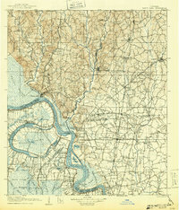
1906 Bayou Sara
West Feliciana Parish, LA
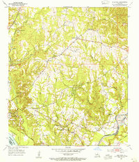
1954 Elm Park
West Feliciana Parish, LA
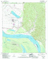
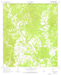
1965 Angola
West Feliciana Parish, LA
1965 Elm Park
West Feliciana Parish, LA
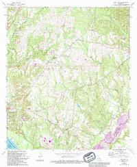
1965 Laurel Hill
West Feliciana Parish, LA
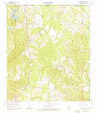
1965 Weyanoke
West Feliciana Parish, LA
1996 Angola
West Feliciana Parish, LA
1998 Weyanoke
West Feliciana Parish, LA
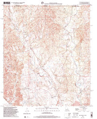
2024 Angola
West Feliciana Parish, LA
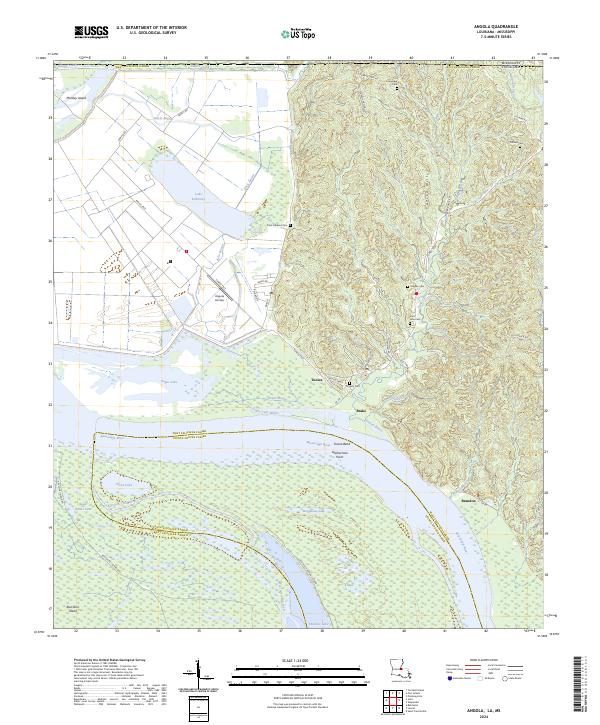
2024 Elm Park
West Feliciana Parish, LA
2024 Laurel Hill
West Feliciana Parish, LA
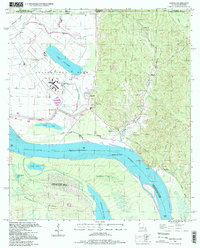
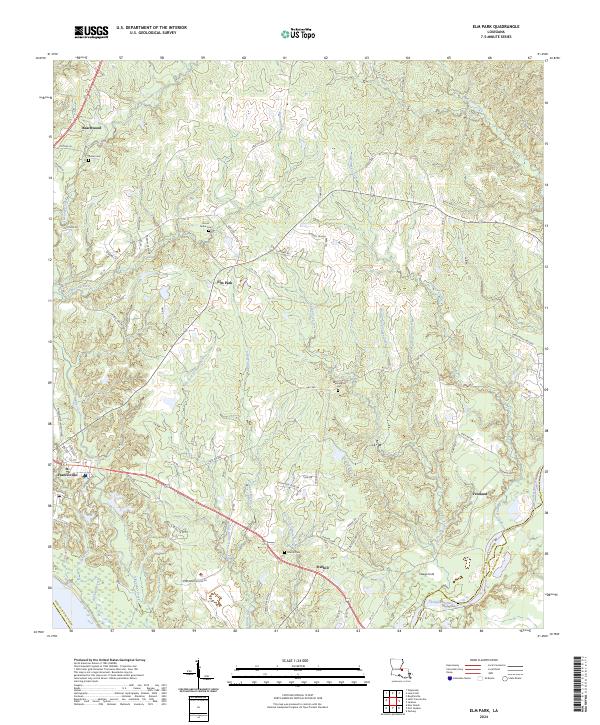
2024 Saint Francisville
West Feliciana Parish, LA
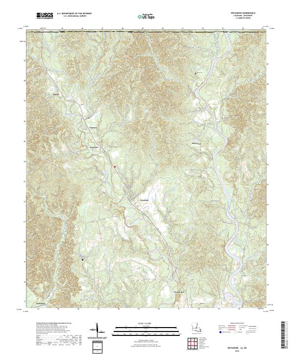
2024 Weyanoke
West Feliciana Parish, LA