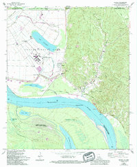
1965 Map of Angola
USGS Topo · Published 1994About this map
The Louisiana State Penitentiary at Angola dominates the riverine landscape of West Feliciana Parish, situated within a massive bend of the Mississippi River. This high-security facility is depicted with its sprawling infrastructure, including a Hospital, Pumping Station, and its own Boat Ramp on Lake Killarney. The complex terrain of the Mississippi floodplain is evident in the presence of secondary water bodies like Loch Lomond, Sugar Lake, and Green Lake, all shaped by the river's historical shifts.
Find a feature on this map
50 named features on this map. Tap any name to fly to it.
Don’t see what you’re looking for? This feature index may not catch every label — zoom into the map to look around manually.
Map Details
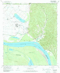
Editions of this 1965 Angola Map
2 editions found
Other maps of this area

1906 · Bayou Sara
USGS Topo · 1:125,000

1936 · Woodville
USGS Topo · 1:62,500

1939 · St. Francisville
USGS Topo · 1:62,500

1939 · Artonish
USGS Topo · 1:62,500

1941 · Batchelor
USGS Topo · 1:62,500

1953 · Natchez
USGS Topo · 1:250,000

1954 · Artonish
USGS Topo · 1:62,500

1954 · Baton Rouge
USGS Topo · 1:250,000

1955 · Artonish
USGS Topo · 1:62,500

1955 · Batchelor
USGS Topo · 1:62,500