
1894 Map of Laurel
USGS Topo · Published 1894About this map
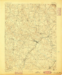
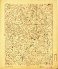
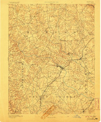
Iron Ore deposits scattered near Muirkirk and Contee reveal the early industrial character of this corridor between Baltimore and Washington during the late nineteenth century. The Baltimore and Ohio Railroad serves as the primary artery for the region, connecting established hubs like Laurel and Savage Sta. with smaller crossroads and rail stops. The landscape is defined by the winding course of the Patuxent River and its tributaries, which established the boundaries for Howard, Montgomery, Anne Arundel, and Prince George counties.
Find a feature on this map
51 named features on this map. Tap any name to fly to it.
Don’t see what you’re looking for? This feature index may not catch every label — zoom into the map to look around manually.
Map Details
Editions of this 1894 Laurel Map
4 editions found
Other maps of this area

1890 · Mt. Vernon
USGS Topo · 1:125,000

1891 · Mt. Vernon
USGS Topo · 1:125,000

1892 · Laurel
USGS Topo · 1:62,500

1892 · Ellicott
USGS Topo · 1:62,500

1892 · Owensville
USGS Topo · 1:62,500

1893 · Frederick
USGS Topo · 1:125,000

1894 · Ellicott
USGS Topo · 1:62,500

1894 · Baltimore
USGS Topo · 1:62,500

1894 · Frederick
USGS Topo · 1:125,000

1894 · Relay
USGS Topo · 1:62,500