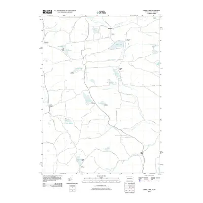
2010 Map of Laurel Lake
USGS Topo · Published 2010About this map
Quaker Lake and the surrounding borderlands of the Pennsylvania-New York line appear here as a landscape defined by small water bodies and rural crossroads. The settlement of Brackney serves as a northern anchor near Monahan Pond, while further south, the Bridgewater and Wilkes Barre Tpke cuts through the terrain, connecting isolated locales like Fisk Mill. This 2010 survey shows a region heavily managed by small-scale dams, such as Silver Lake Dam and Forest Lake Dam, reflecting the importance of water control for recreation and local utility. The infrastructure of the era is represented by a dense network of secondary routes including Hawleyton Rd and Sweeny Rd, which link historical family-named cemeteries and residential clusters like Choconut and Saint Joseph across the rolling topography.
Find a feature on this map
73 named features on this map. Tap any name to fly to it.
Don’t see what you’re looking for? This feature index may not catch every label — zoom into the map to look around manually.
Map Details
Editions of this 2010 Laurel Lake Map
This is the sole edition of this map. No revisions or reprints were ever made.
Other maps of this area

1901 · Apalachin
USGS Topo · 1:62,500

1904 · Binghamton
USGS Topo · 1:62,500

1904 · Apalachin
USGS Topo · 1:62,500

1906 · Catatonk
USGS Topo · 1:125,000

1935 · Binghamton West
USGS Topo · 1:24,000

1937 · Binghamton East
USGS Topo · 1:24,000

1942 · Binghamton West
USGS Topo · 1:31,680

1942 · Binghamton East
USGS Topo · 1:31,680

1943 · Montrose
USGS Topo · 1:62,500

1943 · Le Raysville
USGS Topo · 1:62,500