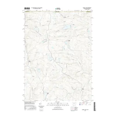
2016 Map of Laurel Lake
USGS Topo · Published 2016About this map
Brackney and the surrounding borderlands of the Southern Tier and Endless Mountains are defined by a high concentration of named glacial lakes and winding creek valleys. This landscape, straddling the New York Pennsylvania state line, features a network of rural settlements including Choconut and Saint Joseph, connected by historic routes like State Rte 4002. The mapping detail captures several local landmarks essential for genealogical research, such as Brackney Cem and Quaker Lake Cem.
Find a feature on this map
79 named features on this map. Tap any name to fly to it.
Don’t see what you’re looking for? This feature index may not catch every label — zoom into the map to look around manually.
Map Details
Editions of this 2016 Laurel Lake Map
This is the sole edition of this map. No revisions or reprints were ever made.
Other maps of this area

1901 · Apalachin
USGS Topo · 1:62,500

1904 · Binghamton
USGS Topo · 1:62,500

1904 · Apalachin
USGS Topo · 1:62,500

1906 · Catatonk
USGS Topo · 1:125,000

1935 · Binghamton West
USGS Topo · 1:24,000

1937 · Binghamton East
USGS Topo · 1:24,000

1942 · Binghamton West
USGS Topo · 1:31,680

1942 · Binghamton East
USGS Topo · 1:31,680

1943 · Montrose
USGS Topo · 1:62,500

1943 · Le Raysville
USGS Topo · 1:62,500