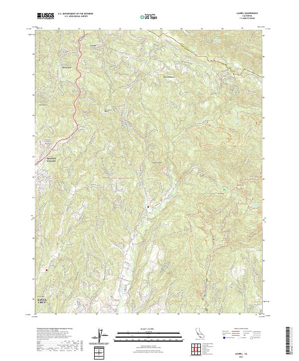
2021 Map of Laurel
USGS Topo · Published 2021About this map
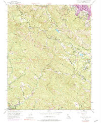
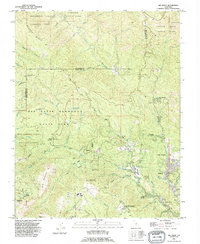
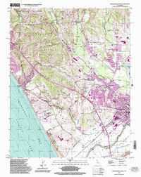
The Santa Cruz Mountains dominate this 2021 landscape, defining a region characterized by deep gulches and ridgelines. Early settlements like Laurel and Glenwood sit at the northern edge, connected by a winding network of mountain roads such as Old San Jose Rd and the Glenwood Cutoff. This survey shows the modern footprint of Scotts Valley and the northern outskirts of Santa Cruz, including the campus of Bethany University.
Find a feature on this map
217 named features on this map. Tap any name to fly to it.
Don’t see what you’re looking for? This feature index may not catch every label — zoom into the map to look around manually.
Map Details
Editions of this 2021 Laurel Map
This is the sole edition of this map. No revisions or reprints were ever made.
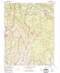
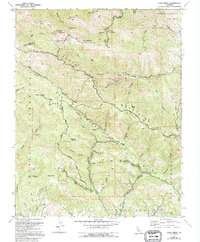
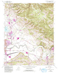
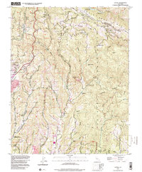
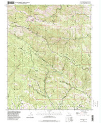
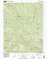
Historical Maps of Spanish Ranch Through Time
25 maps found
1954 Watsonville West
Santa Cruz County, CA
1955 Ano Nuevo
Santa Cruz County, CA
1955 Big Basin
Santa Cruz County, CA
1955 Castle Rock Ridge
Santa Cruz County, CA
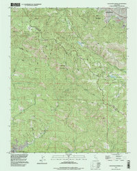
1955 Laurel
Santa Cruz County, CA
1955 Loma Prieta
Santa Cruz County, CA
1955 Watsonville East
Santa Cruz County, CA
1991 Ano Nuevo
Santa Cruz County, CA
1991 Big Basin
Santa Cruz County, CA
1991 Castle Rock Ridge
Santa Cruz County, CA
1995 Watsonville East
Santa Cruz County, CA
1995 Watsonville West
Santa Cruz County, CA
1996 Laurel
Santa Cruz County, CA
1996 Loma Prieta
Santa Cruz County, CA
1997 Big Basin
Santa Cruz County, CA
1997 Castle Rock Ridge
Santa Cruz County, CA
1997 Point Ano Nuevo
Santa Cruz County, CA
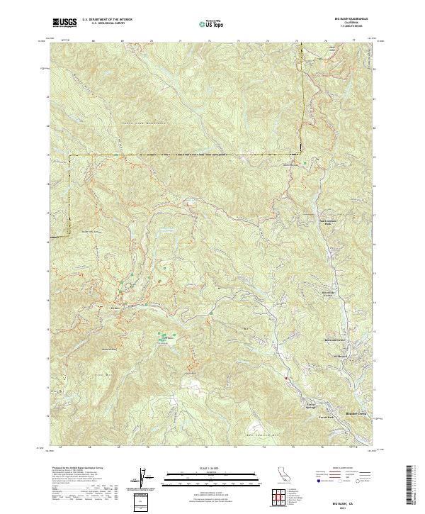
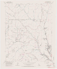
2021 Big Basin
Santa Cruz County, CA
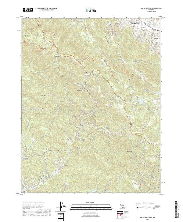
2021 Castle Rock Ridge
Santa Cruz County, CA
2021 Laurel
Santa Cruz County, CA
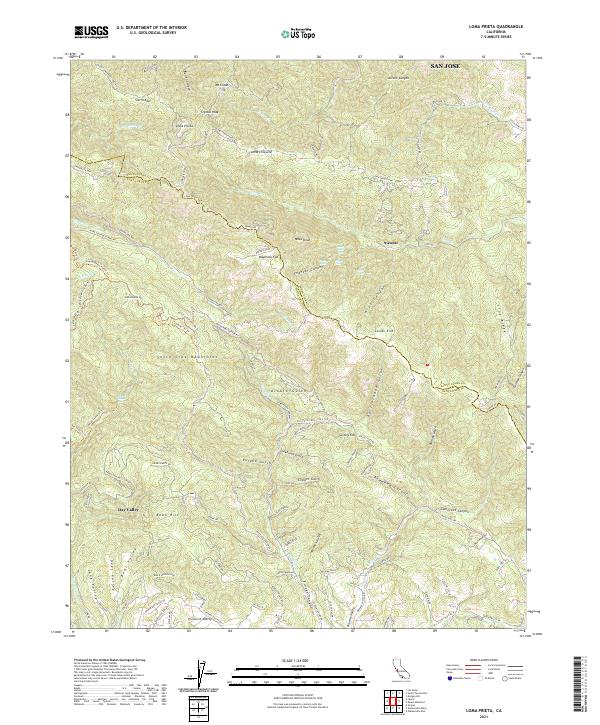
2021 Loma Prieta
Santa Cruz County, CA
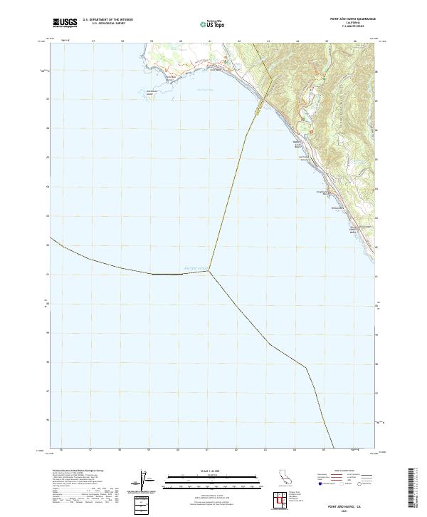
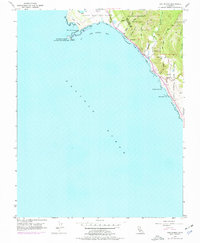
2021 Point Ano Nuevo
Santa Cruz County, CA
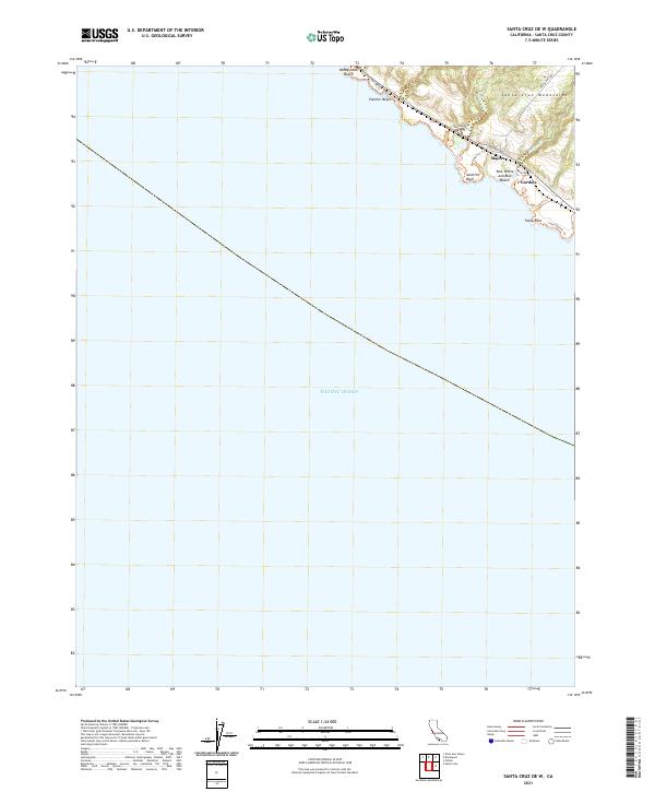
2021 Santa Cruz OE W
Santa Cruz County, CA
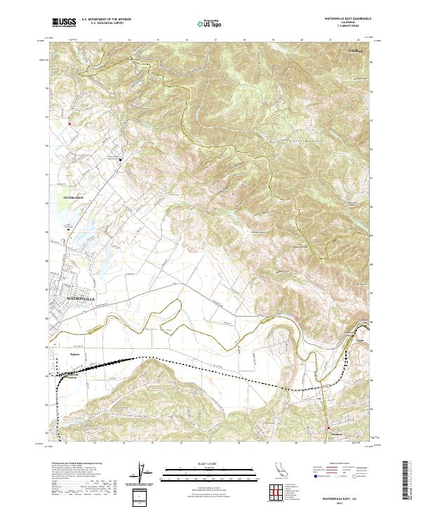
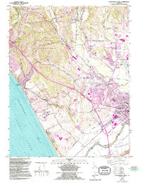
2021 Watsonville East
Santa Cruz County, CA

2021 Watsonville West
Santa Cruz County, CA