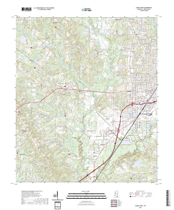
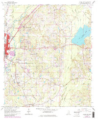
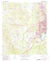
2024 Map of Laurel West
USGS Topo · Published 2024About this map
Laurel serves as the urban anchor of this Jones County landscape, where the historic Jones County Courthouse sits at the heart of a dense grid of streets and neighborhoods. The western outskirts transition into a mosaic of small rural communities like Springhill, Calhoun, and Pendorff, connected by a network of local roads such as Service Rd and Bush Dairy Rd. This area is defined by its deep genealogical roots, evidenced by numerous burial grounds including Hickory Grove Cem and the distinctively named Our Home Universalist Cem.
Find a feature on this map
238 named features on this map. Tap any name to fly to it.
Don’t see what you’re looking for? This feature index may not catch every label — zoom into the map to look around manually.
Map Details
Editions of this 2024 Laurel West Map
This is the sole edition of this map. No revisions or reprints were ever made.
Historical Maps of Walters Through Time
19 maps found
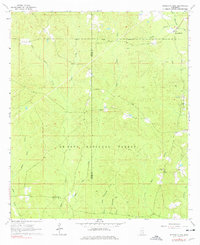
1963 Barrontown
Jones County, MS
1964 Heidelberg SW
Jones County, MS
1964 Lanham
Jones County, MS
1964 Laurel East
Jones County, MS
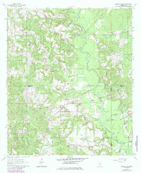
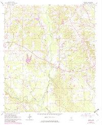
1964 Laurel West
Jones County, MS
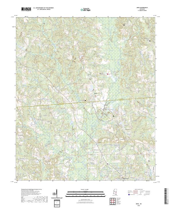
1964 Moss
Jones County, MS
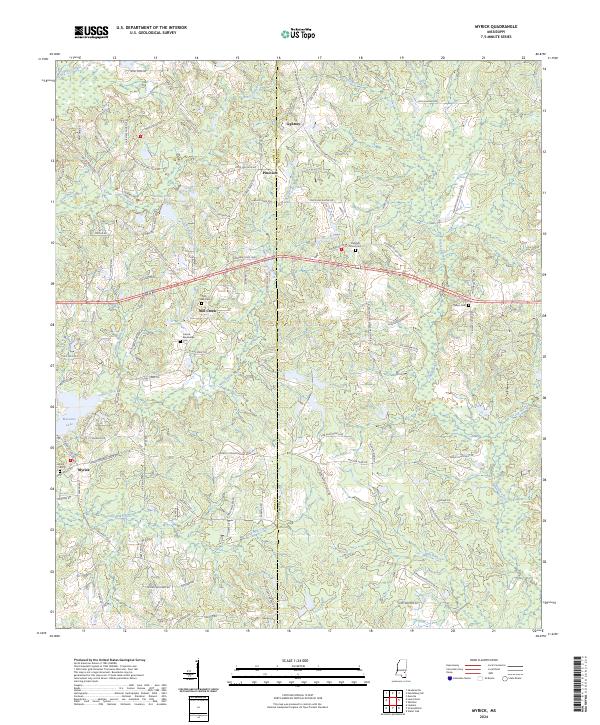
1964 Myrick
Jones County, MS
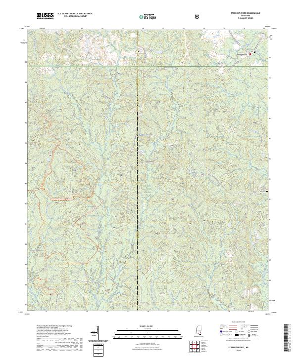
1964 Strengthford
Jones County, MS
1965 Hebron
Jones County, MS
2000 Lanham
Jones County, MS
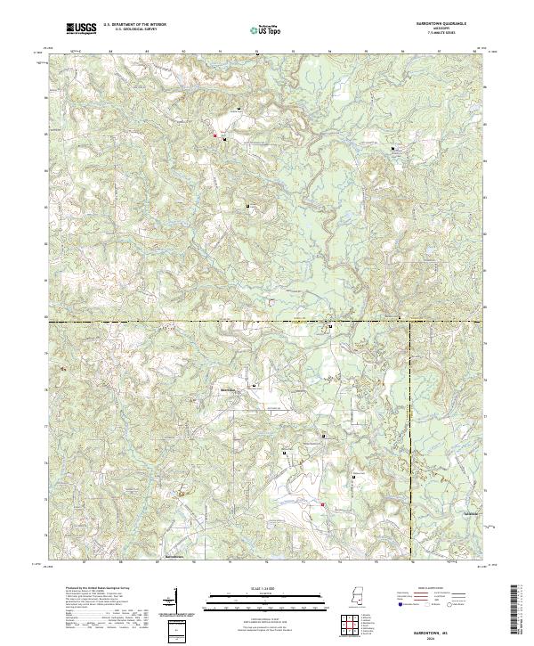
2024 Barrontown
Jones County, MS
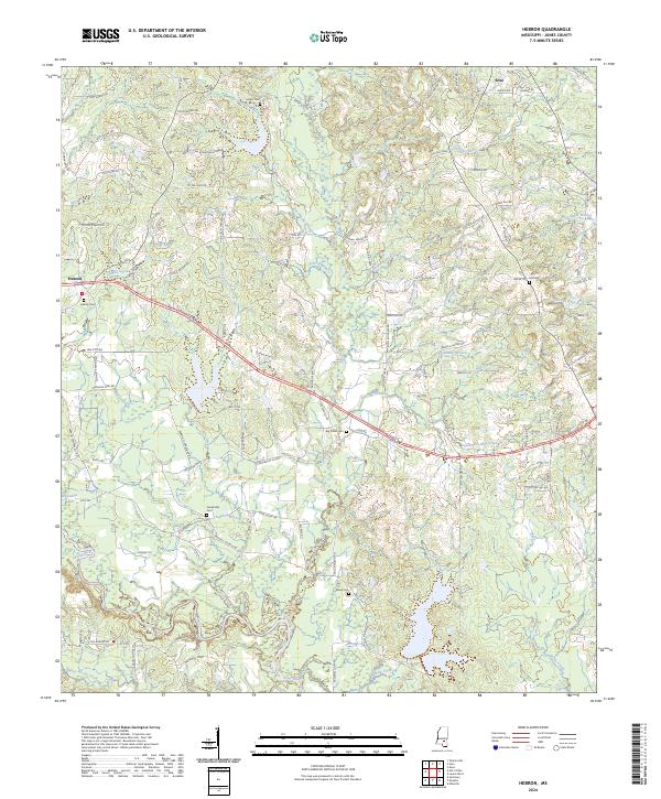
2024 Hebron
Jones County, MS
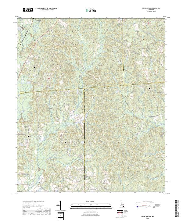
2024 Heidelberg SW
Jones County, MS
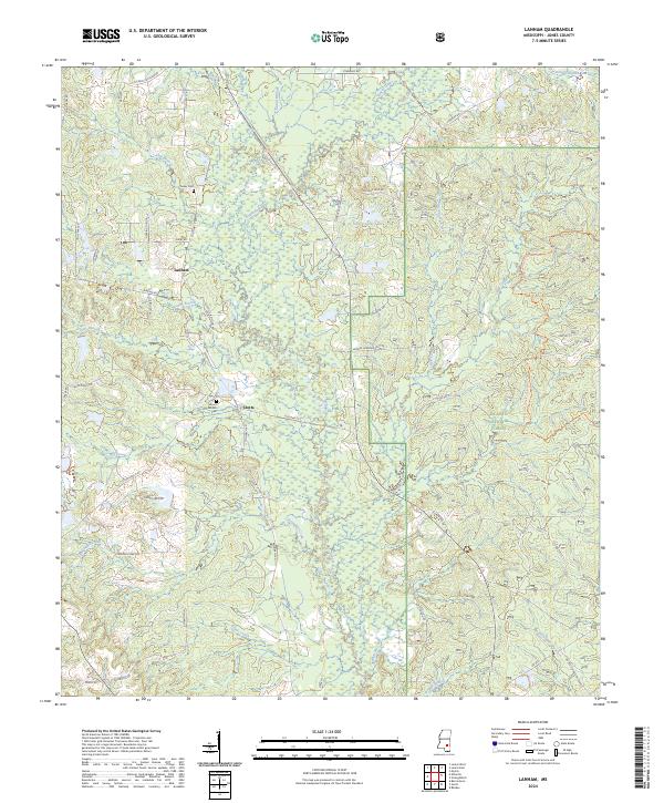
2024 Lanham
Jones County, MS
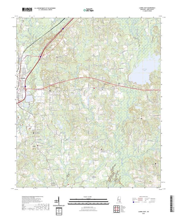
2024 Laurel East
Jones County, MS
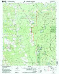
2024 Laurel West
Jones County, MS
2024 Moss
Jones County, MS
2024 Myrick
Jones County, MS
2024 Strengthford
Jones County, MS