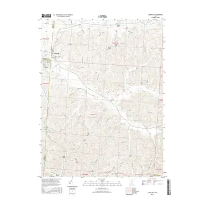
2016 Map of Laurelville
USGS Topo · Published 2016About this map
Laurelville and Adelphi anchor the northwest corner of this landscape, where the borders of Hocking, Ross, and Pickaway counties converge. This 2016 survey traces the intricate drainage patterns of Salt Creek and its many tributaries, including Laurel Run and Pike Run, which have carved a complex system of ridges and hollows such as California Hollow and Tar Hollow. The map serves as a detailed record of rural community life, documenting small settlements like South Perry, Haynes, and Apple. For those researching local history or genealogy, the sheet identifies numerous burial sites, including the Old Methodist Cem, Zion Church Cem, and Schooley Cem, many of which are tucked away on high ground like Dumm Ridge.
Find a feature on this map
102 named features on this map. Tap any name to fly to it.
Don’t see what you’re looking for? This feature index may not catch every label — zoom into the map to look around manually.
Map Details
Editions of this 2016 Laurelville Map
This is the sole edition of this map. No revisions or reprints were ever made.
Other maps of this area

1906 · Chillicothe
USGS Topo · 1:62,500

1907 · Lancaster
USGS Topo · 1:62,500

1908 · Chillicothe
USGS Topo · 1:62,500

1909 · Lancaster
USGS Topo · 1:62,500

1910 · Laurelville
USGS Topo · 1:62,500

1912 · Laurelville
USGS Topo · 1:62,500

1914 · Circleville
USGS Topo · 1:62,500

1943 · Circleville
USGS Topo · 1:62,500

1944 · Laurelville
USGS Topo · 1:62,500

1947 · Columbus
USGS Topo · 1:250,000