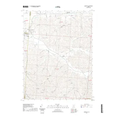
2019 Map of Laurelville
USGS Topo · Published 2019About this map
Laurelville sits at the junction of Hocking, Pickaway, and Ross counties, anchoring a landscape where the flatlands of the west meet the rising ridges of the east. The village of Adelphi is situated nearby along Brimstone Cr, serving as a gateway to the more secluded valleys like California Hollow and Happy Hollow. The terrain is defined by its deep incisions and high ridges, notably Dumm Ridge and Thompson Ridge, which dictate the winding paths of rural roads and the location of isolated farmsteads.
Find a feature on this map
93 named features on this map. Tap any name to fly to it.
Don’t see what you’re looking for? This feature index may not catch every label — zoom into the map to look around manually.
Map Details
Editions of this 2019 Laurelville Map
This is the sole edition of this map. No revisions or reprints were ever made.
Other maps of this area

1906 · Chillicothe
USGS Topo · 1:62,500

1907 · Lancaster
USGS Topo · 1:62,500

1908 · Chillicothe
USGS Topo · 1:62,500

1909 · Lancaster
USGS Topo · 1:62,500

1910 · Laurelville
USGS Topo · 1:62,500

1912 · Laurelville
USGS Topo · 1:62,500

1914 · Circleville
USGS Topo · 1:62,500

1943 · Circleville
USGS Topo · 1:62,500

1944 · Laurelville
USGS Topo · 1:62,500

1947 · Columbus
USGS Topo · 1:250,000