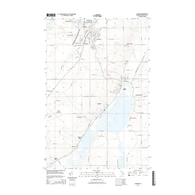
2014 Map of Laurium
USGS Topo · Published 2014About this map
The industrial and natural heritage of Michigan's Copper Country is centered here within the Keweenaw National Historical Park. Concentrated settlements such as Calumet, Laurium, and Osceola reflect the dense development born of the region's mining boom. These communities are linked by a network of local roads like Millionaire St and Store St, while the steep topography of the Keweenaw Peninsula is marked by drainage features such as Hungarian Falls and Houghton Falls.
Find a feature on this map
123 named features on this map. Tap any name to fly to it.
Don’t see what you’re looking for? This feature index may not catch every label — zoom into the map to look around manually.
Map Details
Editions of this 2014 Laurium Map
This is the sole edition of this map. No revisions or reprints were ever made.
Other maps of this area

1915 · Houghton
USGS Topo · 1:62,500

1941 · Ahmeek
USGS Topo · 1:31,680

1941 · Mohawk
USGS Topo · 1:31,680

1946 · Hancock
USGS Topo · 1:24,000

1946 · Chassell
USGS Topo · 1:24,000

1946 · Mohawk
USGS Topo · 1:24,000

1946 · Muggun Creek
USGS Topo · 1:24,000

1946 · Ahmeek
USGS Topo · 1:24,000

1946 · Laurium
USGS Topo · 1:24,000

1947 · Ahmeek
USGS Topo · 1:24,000