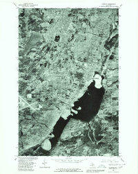
1978 Map of Laurium
USGS Topo · Published 1980About this map
Calumet and Laurium anchor the northern landscape of this Copper Country orthophotoquad, showing the dense grid of these historic mining communities at the end of the 1970s. The imagery reveals the relationship between the upland settlements and the industrial shoreline of Torch Lake to the southeast, where the towns of Lake Linden and Hubbell developed around the stamp mills and reclamation plants that processed local copper ore.
Find a feature on this map
9 named features on this map. Tap any name to fly to it.
Don’t see what you’re looking for? This feature index may not catch every label — zoom into the map to look around manually.
Map Details
Editions of this 1978 Laurium Map
This is the sole edition of this map. No revisions or reprints were ever made.
Other maps of this area

1915 · Houghton
USGS Topo · 1:62,500

1941 · Ahmeek
USGS Topo · 1:31,680

1941 · Mohawk
USGS Topo · 1:31,680

1946 · Hancock
USGS Topo · 1:24,000

1946 · Chassell
USGS Topo · 1:24,000

1946 · Mohawk
USGS Topo · 1:24,000

1946 · Muggun Creek
USGS Topo · 1:24,000

1946 · Ahmeek
USGS Topo · 1:24,000

1946 · Laurium
USGS Topo · 1:24,000

1947 · Ahmeek
USGS Topo · 1:24,000