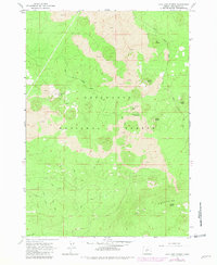
1963 Map of Lava Cast Forest
USGS Topo · Published 1992About this map
The Deschutes National Forest environment is defined by extensive volcanic activity south of Bend, Oregon. Large fields of Lava dominate the central and northern sections of this quadrangle, punctuated by a series of prominent volcanic cones including Sugar Pine Butte, Mokst Butte, and Lockit Butte. These features trace a distinct geological line through the Paulina Mountains, illustrating the prehistoric flows that shaped the modern landscape.
Find a feature on this map
15 named features on this map. Tap any name to fly to it.
Don’t see what you’re looking for? This feature index may not catch every label — zoom into the map to look around manually.
Map Details
Editions of this 1963 Lava Cast Forest Map
3 editions found
Other maps of this area

1931 · Newberry Crater
USGS Topo · 1:125,000

1935 · Newberry Crater
USGS Topo · 1:125,000

1955 · Crescent
USGS Topo · 1:250,000

1957 · Crescent
USGS Topo · 1:250,000

1958 · Crescent
USGS Topo · 1:250,000
1963 · Lava Cast Forest
USGS Topo · 1:24,000
1963 · Lava Butte
USGS Topo · 1:24,000
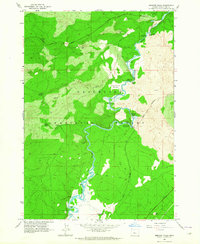
1963 · Benham Falls
USGS Topo · 1:24,000
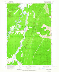
1963 · Anns Butte
USGS Topo · 1:24,000
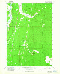
1963 · Finley Butte
USGS Topo · 1:24,000