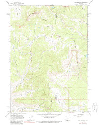
1965 Map of Lava Mountain
USGS Topo · Published 1985About this map
Continental Divide winds through this high-altitude landscape where the headwaters of the Wind River and various forks of Fish Creek begin their descent. The boundary between Teton National Forest and Shoshone National Forest splits the terrain, marking a region defined more by its hydrologic and topographic crests than by permanent human settlement. While most of the area is traversable only via Pack Trail or Jeep Trail, Brooks Lake Lodge stands as a notable landmark of recreational history in the north.
Find a feature on this map
40 named features on this map. Tap any name to fly to it.
Don’t see what you’re looking for? This feature index may not catch every label — zoom into the map to look around manually.
Map Details
Editions of this 1965 Lava Mountain Map
2 editions found
Other maps of this area

1902 · Mt Leidy
USGS Topo · 1:125,000

1905 · Younts Peak
USGS Topo · 1:125,000

1907 · Younts Peak
USGS Topo · 1:125,000

1955 · Driggs
USGS Topo · 1:250,000

1955 · Thermopolis
USGS Topo · 1:250,000

1956 · Fish Lake
USGS Topo · 1:24,000

1956 · Kisinger Lakes
USGS Topo · 1:24,000
1956 · Dundee Meadows
USGS Topo · 1:24,000

1958 · Driggs
USGS Topo · 1:250,000

1958 · Thermopolis
USGS Topo · 1:250,000