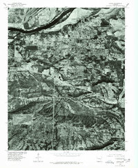
1976 Map of Lavaca
USGS Topo · Published 1978About this map
Vache Grasse Creek meanders through the heart of this Arkansas landscape, defining the topography south of the Arkansas River. Based on aerial imagery from early 1976, this orthophotoquad reveals the mid-seventies layout of Lavaca, showing the town's grid and development patterns relative to the water. The northern boundary is dominated by the Ozark Reservoir, while the small settlement of Bloomer sits further south. The contrast between the river bottomlands and the more textured terrain near the creek provides a clear view of how the local geography influenced road placement and residential clusters during this era of Sebastian County history.
Find a feature on this map
5 named features on this map. Tap any name to fly to it.
Don’t see what you’re looking for? This feature index may not catch every label — zoom into the map to look around manually.
Map Details
Editions of this 1976 Lavaca Map
2 editions found
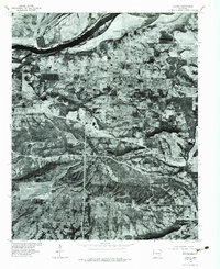
Other maps of this area

1879 · Fort Smith
USGS Topo · 1:62,500

1887 · Van Buren
USGS Topo · 1:62,500

1887 · Greenwood
USGS Topo · 1:62,500

1890 · Fort Smith
USGS Topo · 1:125,000

1906 · Lavaca
USGS Topo · 1:62,500

1906 · Barber
USGS Topo · 1:62,500

1943 · Fort Smith
USGS Topo · 1:125,000

1946 · Fort Smith
USGS Topo · 1:250,000
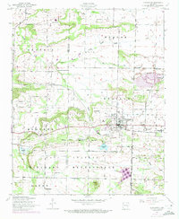
1946 · Charleston
USGS Topo · 1:24,000

1947 · Lavaca
USGS Topo · 1:62,500