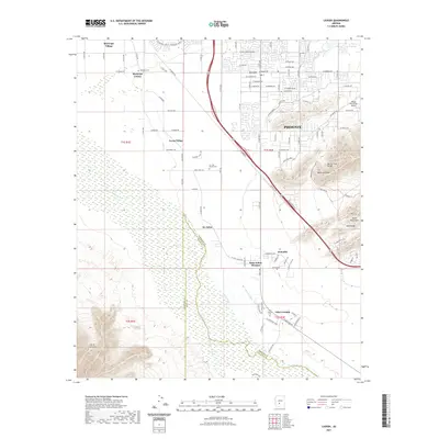
2021 Map of Laveen
USGS Topo · Published 2021About this map
The Gila River defines the landscape of this region southwest of Phoenix, where agricultural traditions meet the expanding suburban reach of the valley. The map documents several distinct communities, including Maricopa Colony, Maricopa Village, and Co-op Village, reflecting a complex pattern of settlement along the river's path. Cultivation is supported by a network of water management features such as the Highline Canal, Western Canal, and Hoover Ditch. Historical and spiritual sites are prominent, notably the Saint Johns Mission near the town of St. Johns, and several local burial grounds including the Maricopa Cem and Gila Crossing Cem. Dramatic elevation changes mark the eastern and southern boundaries, where the Ma Ha Tuak Range and the Sierra Estrella rise sharply from the valley floor, creating a stark contrast between the irrigated lowlands and the arid heights of Maricopa Peak.
Find a feature on this map
97 named features on this map. Tap any name to fly to it.
Don’t see what you’re looking for? This feature index may not catch every label — zoom into the map to look around manually.
Map Details
Editions of this 2021 Laveen Map
This is the sole edition of this map. No revisions or reprints were ever made.
Other maps of this area

1912 · Phoenix
USGS Topo · 1:62,500

1913 · Maricopa
USGS Topo · 1:62,500

1914 · Phoenix
USGS Topo · 1:62,500

1915 · Maricopa
USGS Topo · 1:62,500

1946 · Avondale
USGS Topo · 1:62,500

1948 · Cashion
USGS Topo · 1:62,500

1951 · Mobile
USGS Topo · 1:62,500

1952 · Lone Butte
USGS Topo · 1:24,000

1952 · Laveen
USGS Topo · 1:24,000
1952 · Pima Butte
USGS Topo · 1:24,000