Loading...
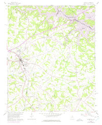
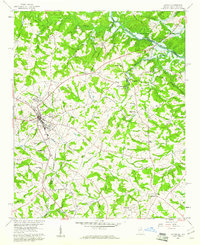
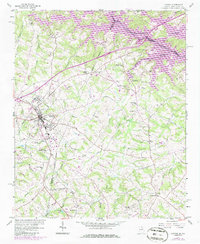
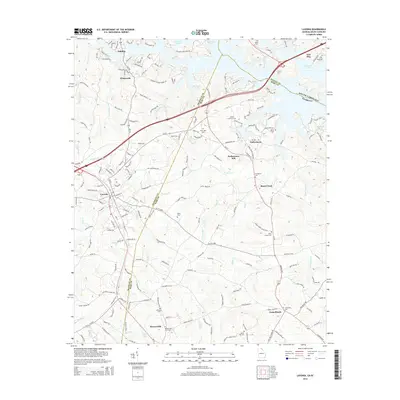
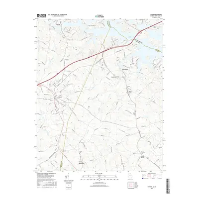
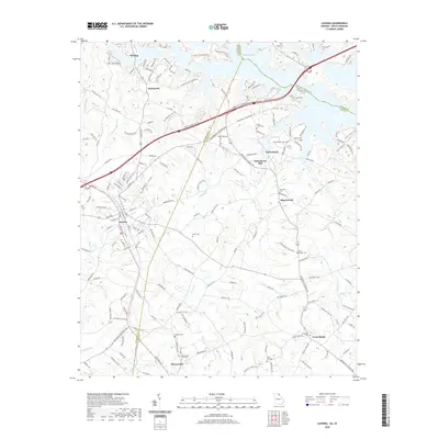
Loading map...1959 Map of Lavonia
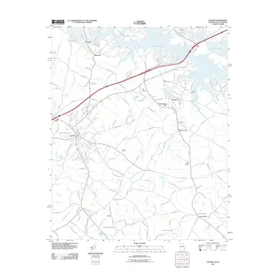
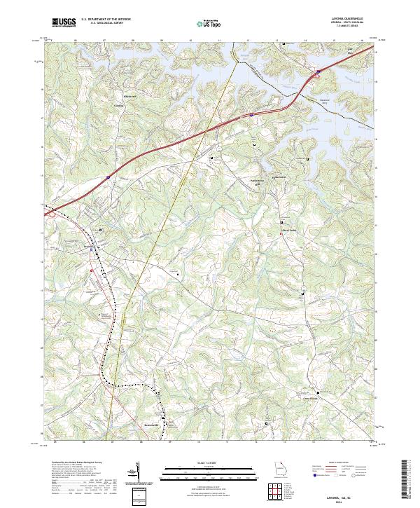
USGS Topo · Published 1975About this map
The Southern Railway corridor anchors this portion of the Piedmont, connecting the growing hub of Lavonia with the neighboring settlement of Bowersville. During this era of the late 1950s and early 1970s, the landscape is defined by its transition from traditional agriculture and milling toward modern infrastructure. The presence of Hartwell Lake and the Hartwell Lake Reservation Bdy along the Tugaloo River indicates the significant impact of federal water projects on the local geography.
Find a feature on this map
46 named features on this map. Tap any name to fly to it.
Don’t see what you’re looking for? This feature index may not catch every label — zoom into the map to look around manually.
Map Details
Date Portrayed1959
Date Published1975
PublisherU.S. Geological Survey
Map TypeTopographic
Scale1:24,000
Physical Dimensions22.1 x 27 inches
Editions of this 1959 Lavonia Map
2 editions found
Historical Maps of Lavonia Through Time
7 maps found
Featured Locations
Source Details
SourceU.S. Geological Survey
CopyrightPublic Domain