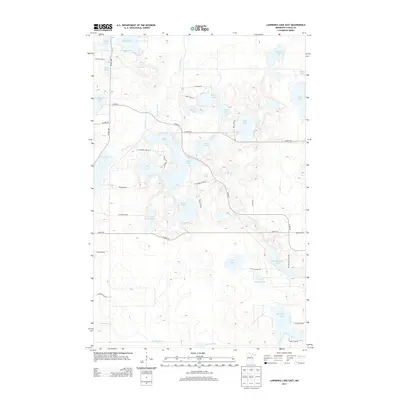
2013 Map of Lawrence Lake East
USGS Topo · Published 2013About this map
Prairie River meanders through the heart of this Northwoods landscape, serving as a central hydrologic corridor between an dense collection of glacial lakes. In the early 21st century, the area around Lawrence Lake and Crooked Lake represents a transition from managed forest to lakeside residence, connected by a network of rural roads like Scenic Hwy and Co Hwy-56. To the south, a significant chain of water bodies including Fourth Sucker Lake, Third Sucker Lake, and Big Sucker Lake defines the terrain, eventually feeding into Sucker Brook. The geography is notable for its intricate wetlands and numerous smaller basins such as Thirtyone Lake and Trestle Lake, reflecting the persistent influence of the region's post-glacial drainage patterns on modern transportation and land use.
Find a feature on this map
43 named features on this map. Tap any name to fly to it.
Don’t see what you’re looking for? This feature index may not catch every label — zoom into the map to look around manually.
Map Details
Editions of this 2013 Lawrence Lake East Map
This is the sole edition of this map. No revisions or reprints were ever made.
Other maps of this area

1919 · Release
USGS Topo · 1:62,500

1920 · Trout Lake
USGS Topo · 1:62,500

1943 · Release
USGS Topo · 1:62,500

1952 · Nashwauk
USGS Topo · 1:24,000

1952 · Calumet
USGS Topo · 1:24,000

1952 · Pengilly
USGS Topo · 1:24,000

1952 · Bovey
USGS Topo · 1:24,000

1954 · Hibbing
USGS Topo · 1:250,000

1957 · Hibbing
USGS Topo · 1:250,000

1958 · Hibbing
USGS Topo · 1:250,000