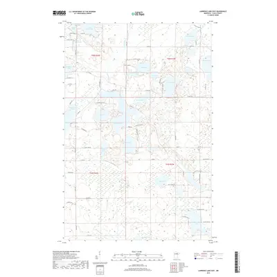
2019 Map of Lawrence Lake East
USGS Topo · Published 2019About this map
The Prairie River meanders through this heavily glaciated pocket of Itasca County, defining a landscape of interconnected basins and wetlands. Central to this map is a cluster of prominent water bodies including Thirty Lake, Bray Lake, and the uniquely named Trestle Lake, which sits east of the Scenic Hwy. The hydrology here is complex, with Balsam Cr feeding into Lower Balsam Lake in the north, while the southern reaches are dominated by the Sucker Brook system and Big Sucker Lake. The map reveals a network of local routes like N Twin Bridges Rd and S Crooked Lake Rd that provide access to seasonal camps and remote shoreline properties. The dense concentration of small lakes like Bass Lake and Fourth Sucker Lake underscores the area's character as a classic Minnesota lake country retreat.
Find a feature on this map
64 named features on this map. Tap any name to fly to it.
Don’t see what you’re looking for? This feature index may not catch every label — zoom into the map to look around manually.
Map Details
Editions of this 2019 Lawrence Lake East Map
This is the sole edition of this map. No revisions or reprints were ever made.
Other maps of this area

1919 · Release
USGS Topo · 1:62,500

1920 · Trout Lake
USGS Topo · 1:62,500

1943 · Release
USGS Topo · 1:62,500

1952 · Nashwauk
USGS Topo · 1:24,000

1952 · Calumet
USGS Topo · 1:24,000

1952 · Pengilly
USGS Topo · 1:24,000

1952 · Bovey
USGS Topo · 1:24,000

1954 · Hibbing
USGS Topo · 1:250,000

1957 · Hibbing
USGS Topo · 1:250,000

1958 · Hibbing
USGS Topo · 1:250,000