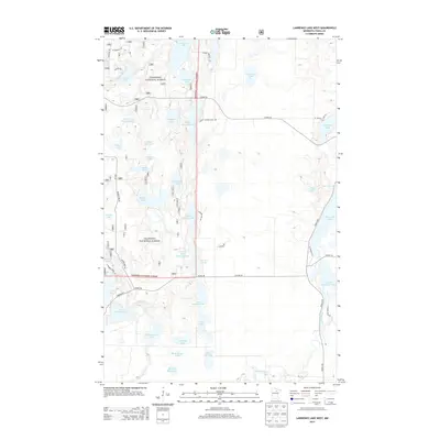
2013 Map of Lawrence Lake West
USGS Topo · Published 2013About this map
Chippewa National Forest land dominates this section of Itasca County, defined by a complex network of glacial lakes and managed waterways. The landscape features significant water control structures like the Little Wolf Impoundment and the Hanson Lake Impoundment, which reflect modern forest and wildlife management practices within the national forest boundaries.
Find a feature on this map
55 named features on this map. Tap any name to fly to it.
Don’t see what you’re looking for? This feature index may not catch every label — zoom into the map to look around manually.
Map Details
Editions of this 2013 Lawrence Lake West Map
This is the sole edition of this map. No revisions or reprints were ever made.
Other maps of this area

1919 · Release
USGS Topo · 1:62,500

1919 · Marcell
USGS Topo · 1:62,500

1920 · Trout Lake
USGS Topo · 1:62,500

1943 · Release
USGS Topo · 1:62,500

1952 · Calumet
USGS Topo · 1:24,000

1952 · Bovey
USGS Topo · 1:24,000

1953 · Cohasset East
USGS Topo · 1:24,000

1954 · Hibbing
USGS Topo · 1:250,000

1957 · Hibbing
USGS Topo · 1:250,000

1958 · Hibbing
USGS Topo · 1:250,000